Urban Ecology
For my final project in Harvard Graduate School of Design's SCI6318: Urban and Town Ecology, I conducted two field days, during which I traveled by car, bicycle and sometimes scooter across Boston's Emerald Necklace. This system of parks, designed by Fredrick Law Olmsted, provides a variety of ecological and recreational benefits to the City of Boston and its residents.
My final report can be found here
Below are selected observations from my field days, conducted on April 22, 2020 and May 9, 2020.
Field Day 1


Field Day 1: Site Overviews
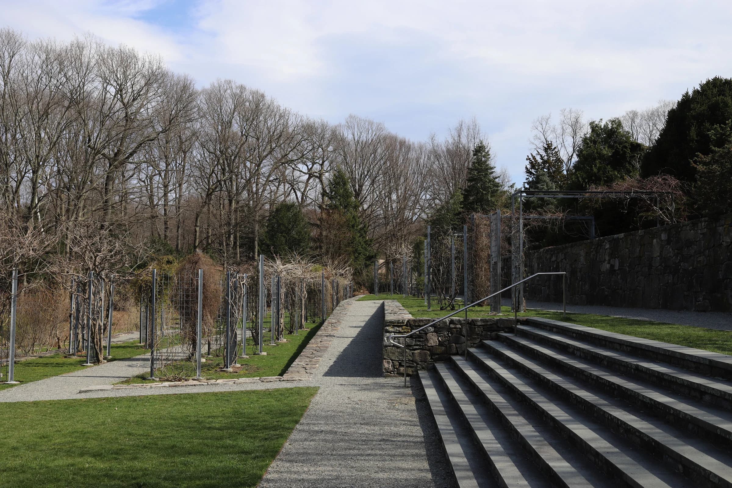
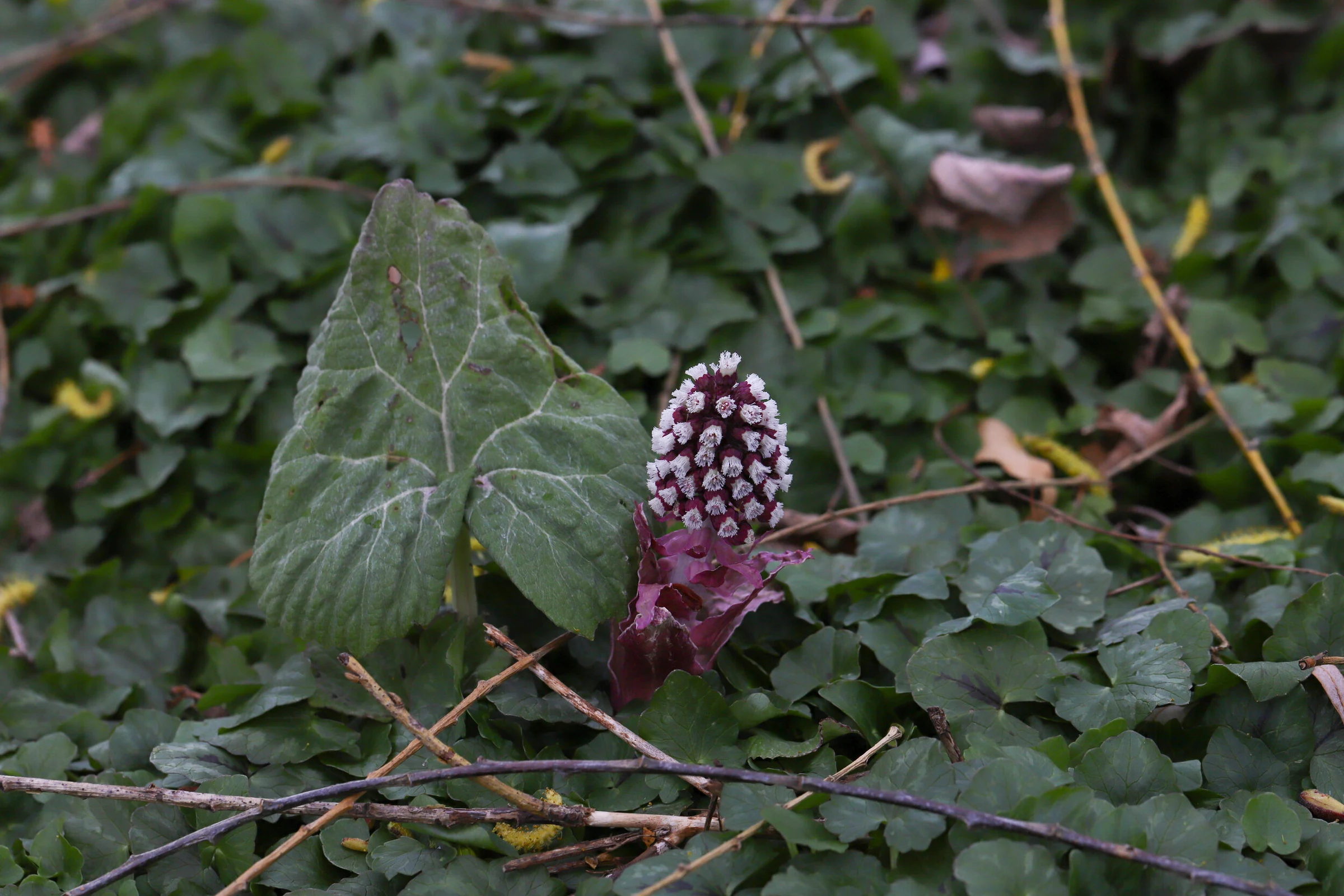
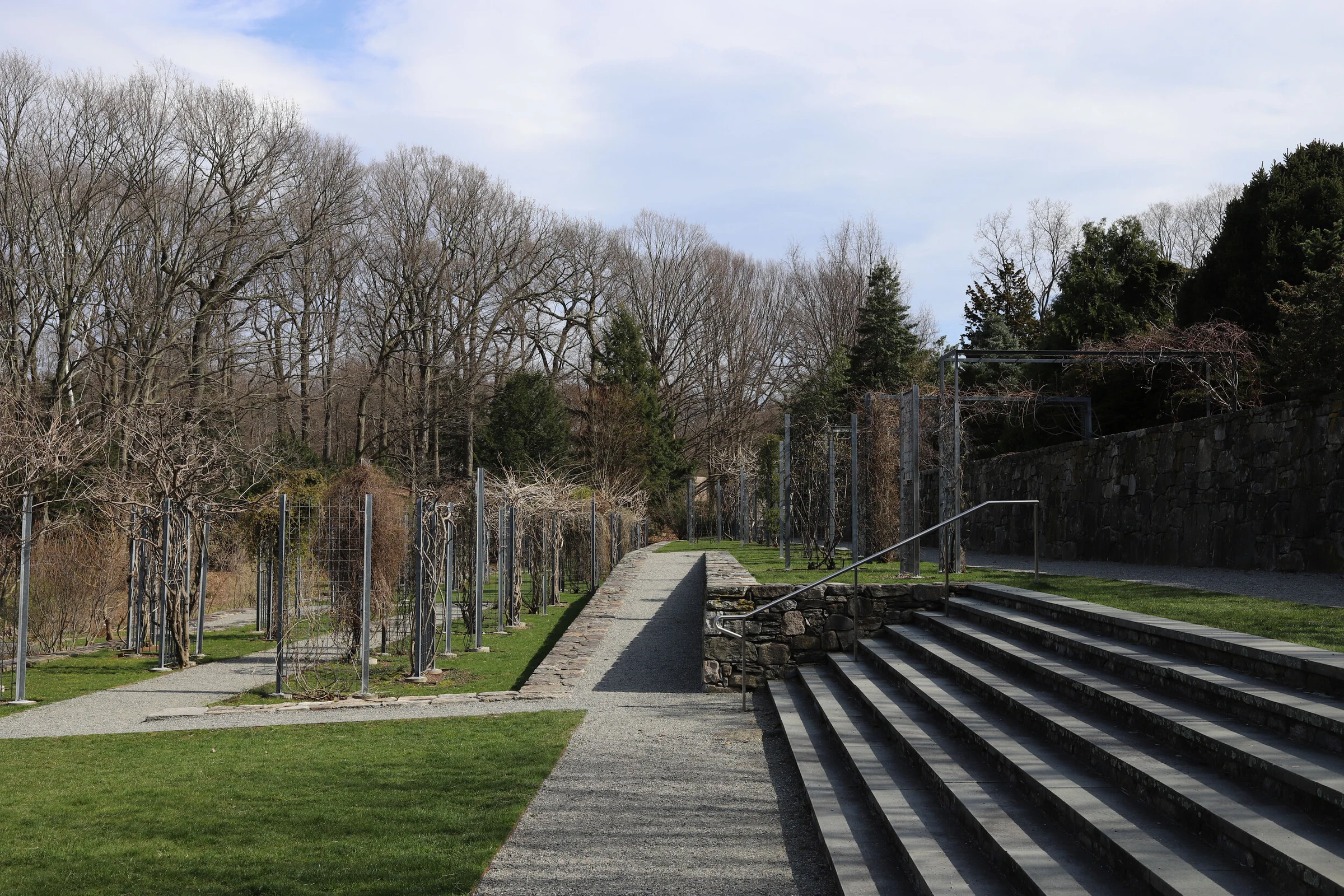
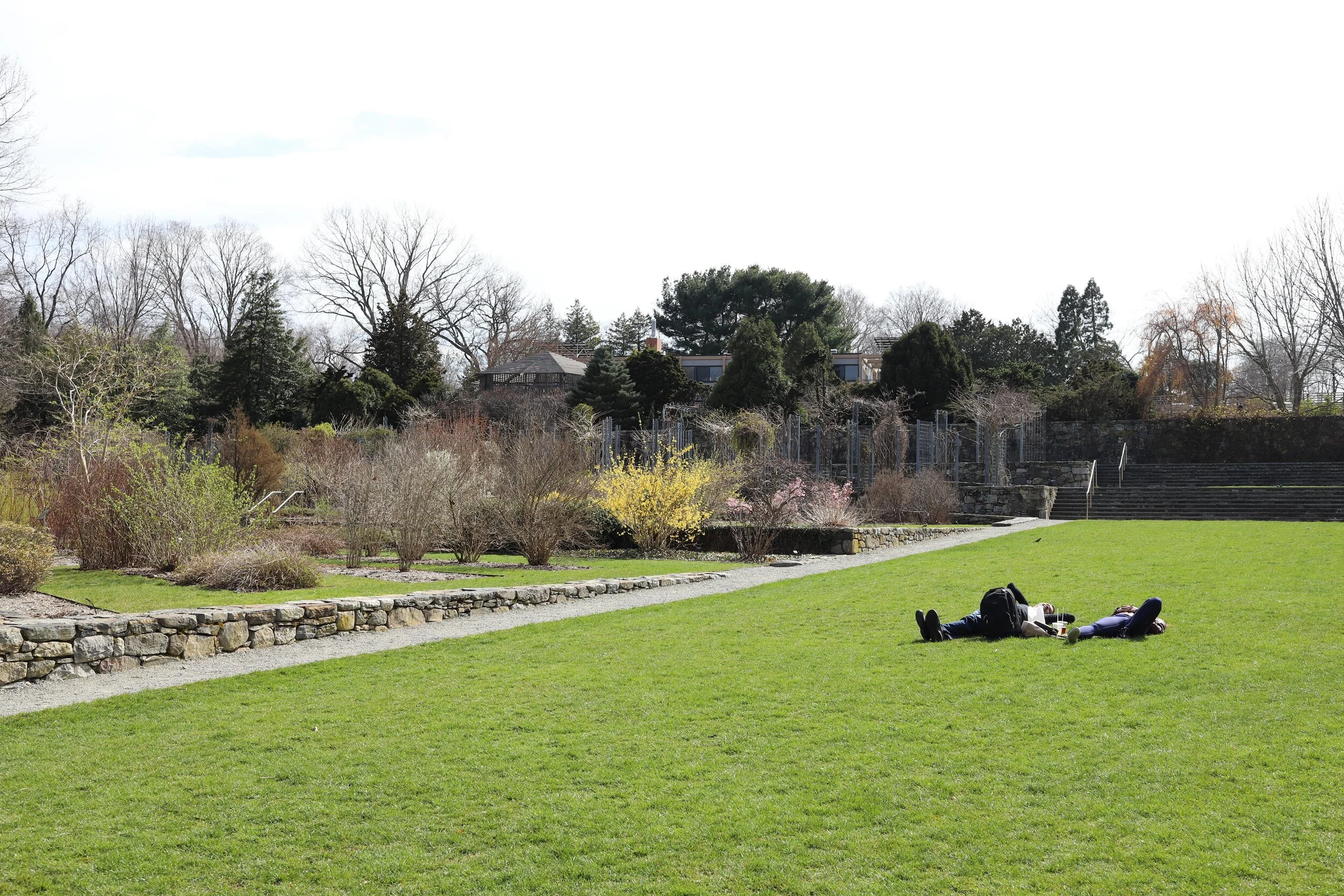
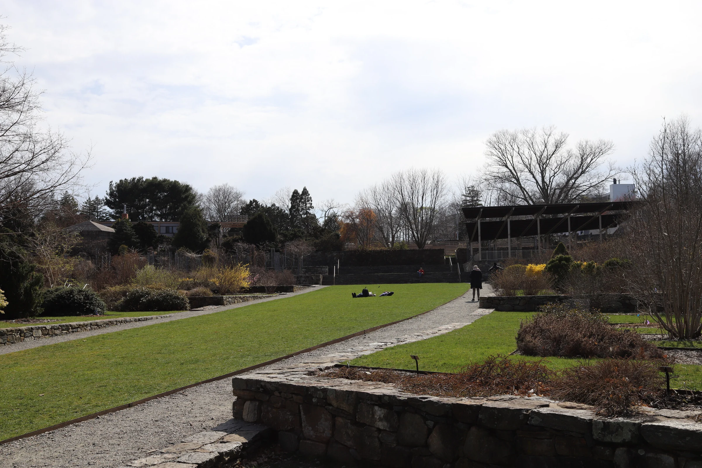
Arnold Arboretum of Harvard University - Leventritt Vine Garden

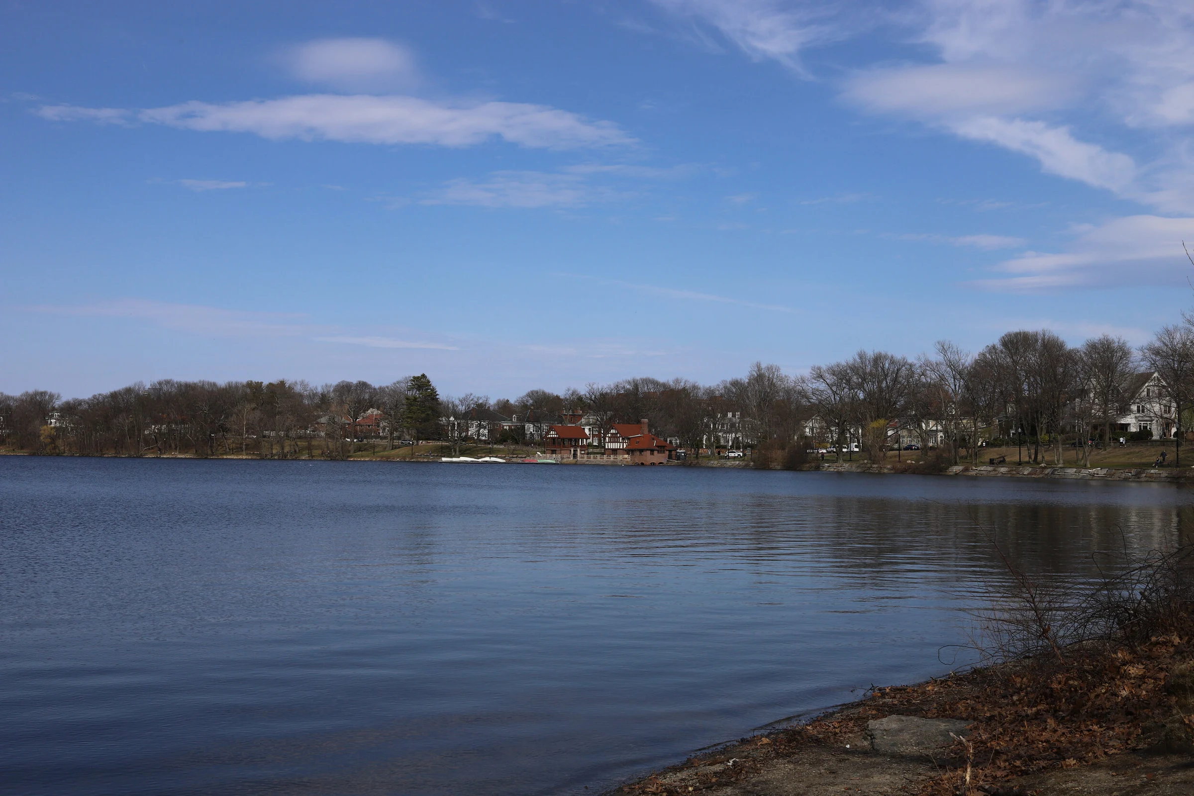
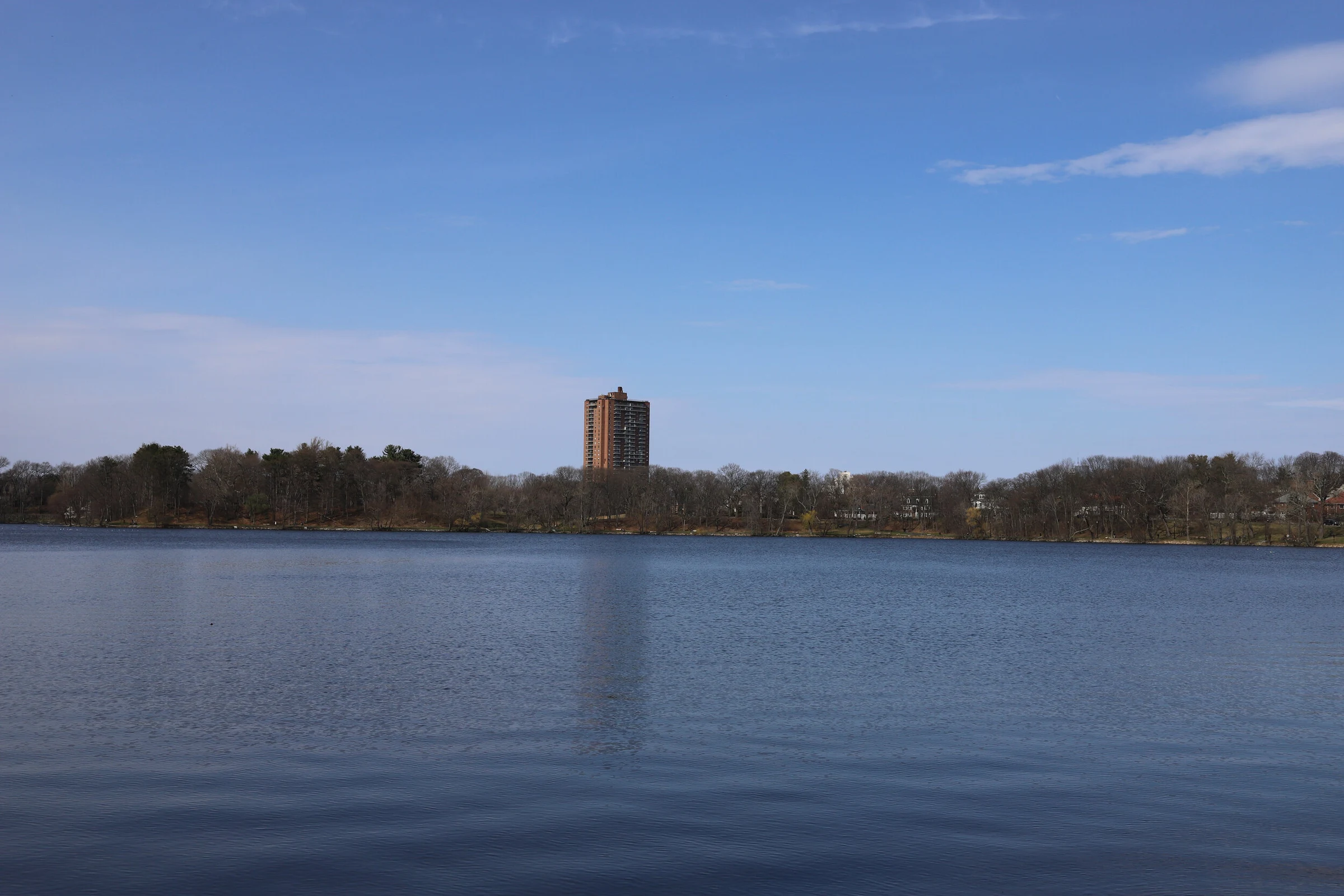
Jamaica Pond
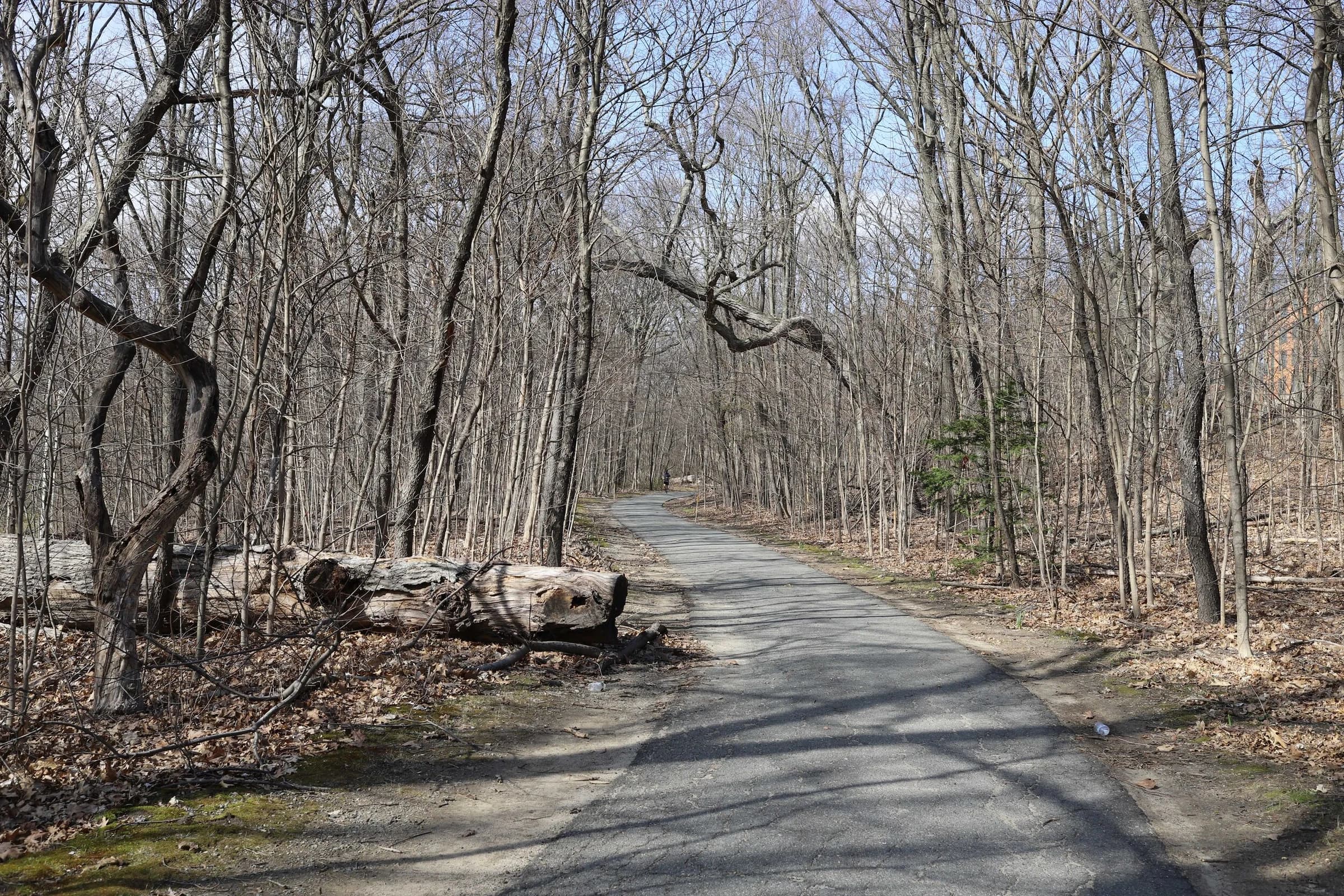
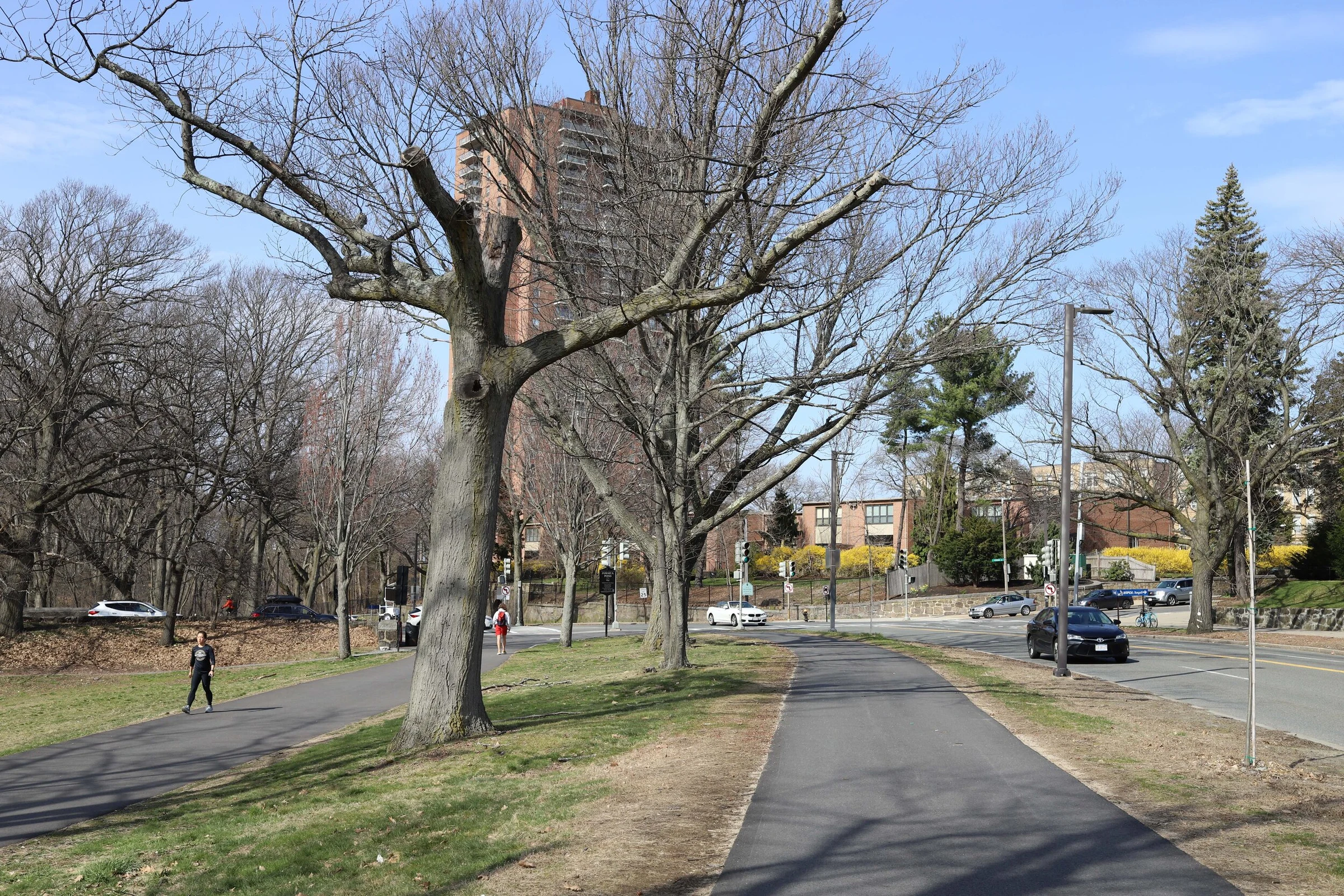
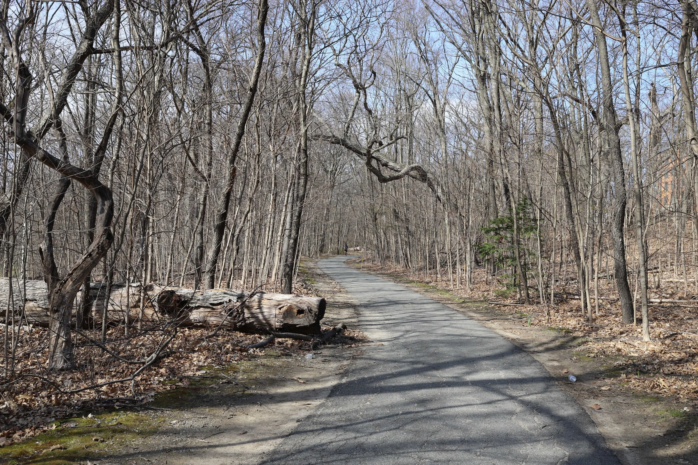
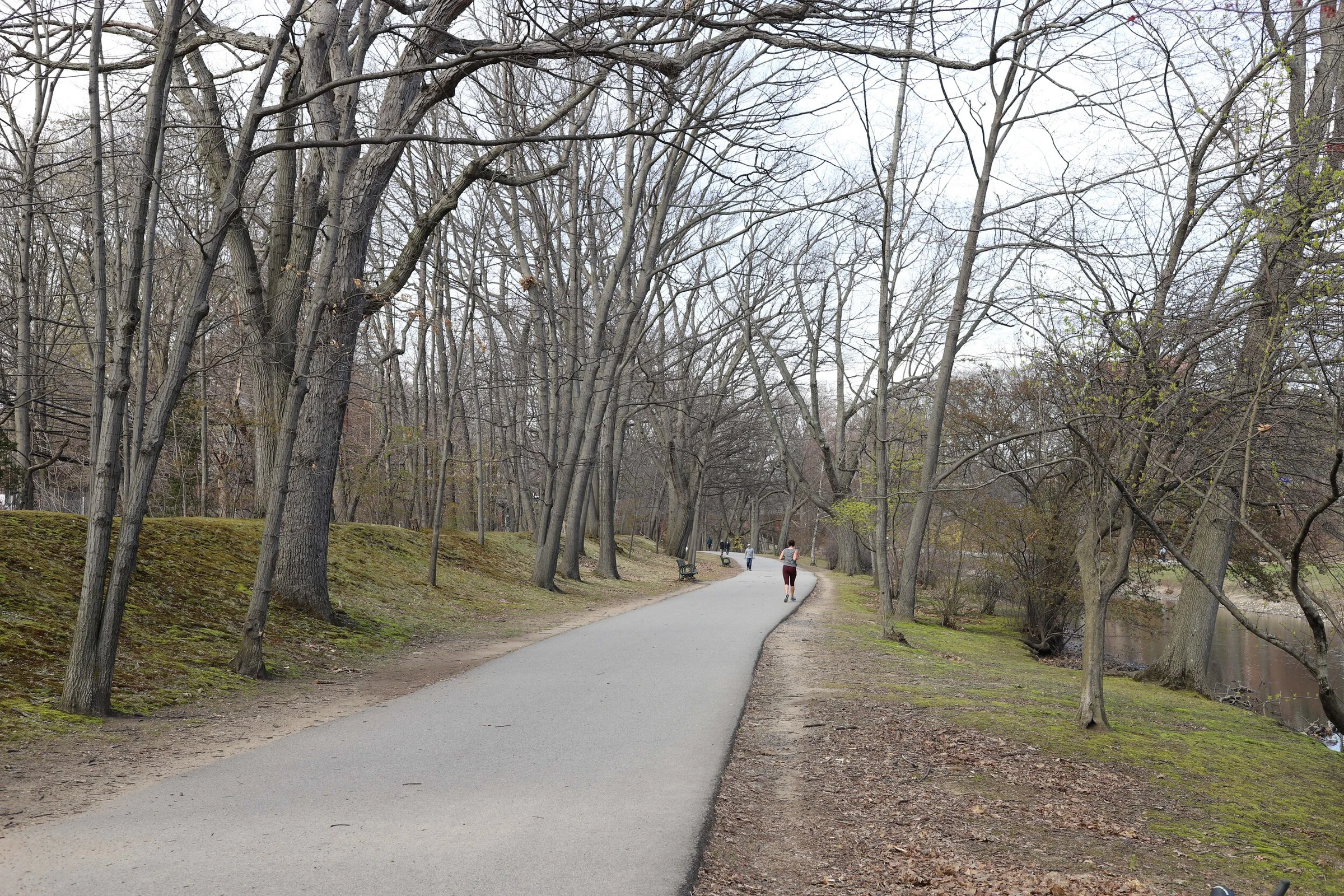
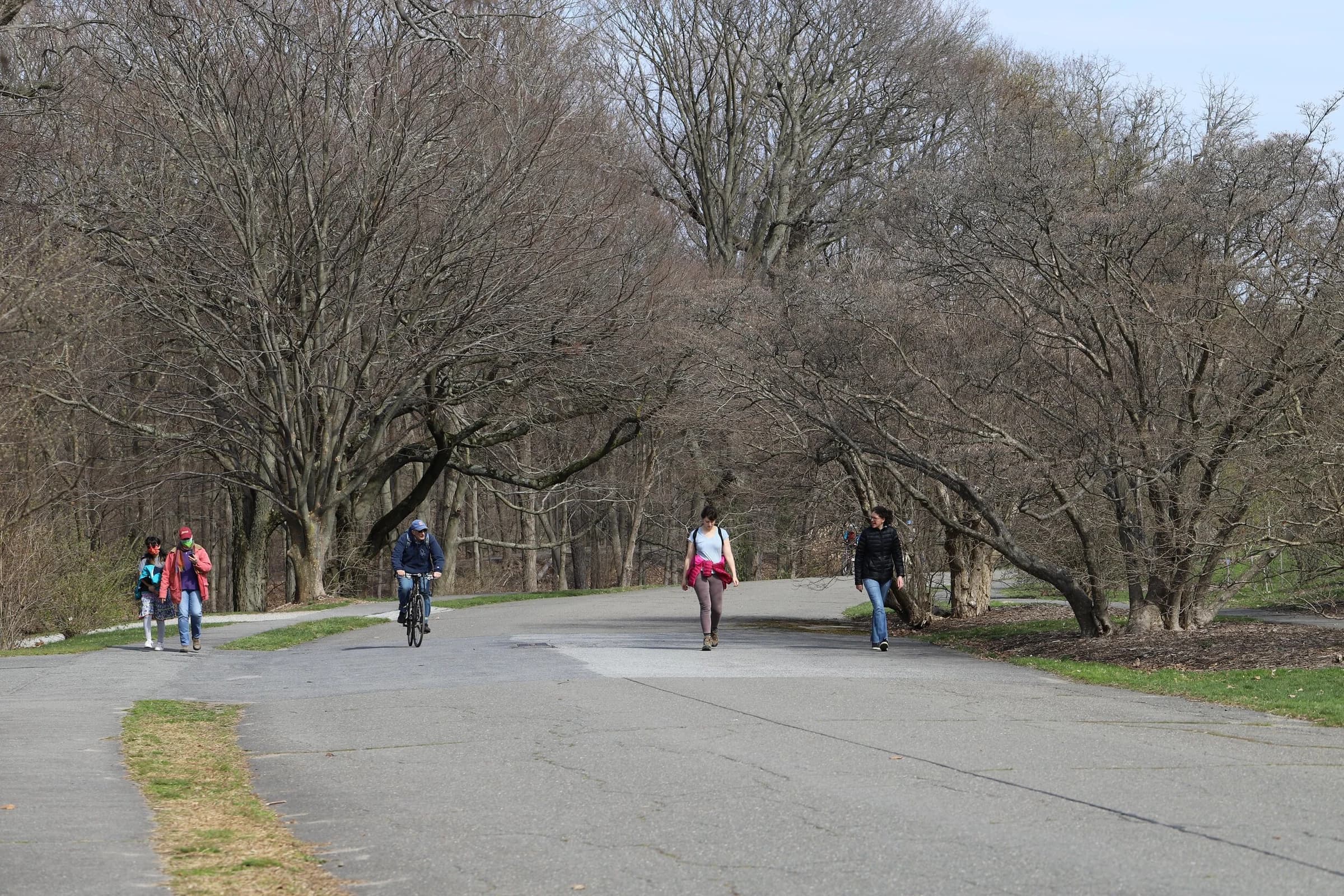
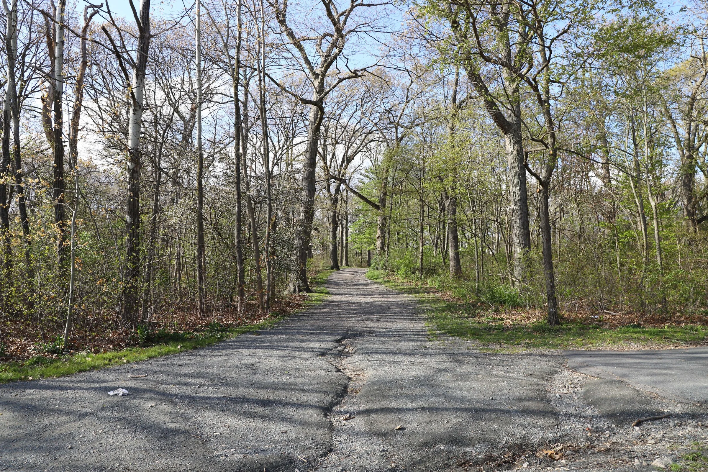
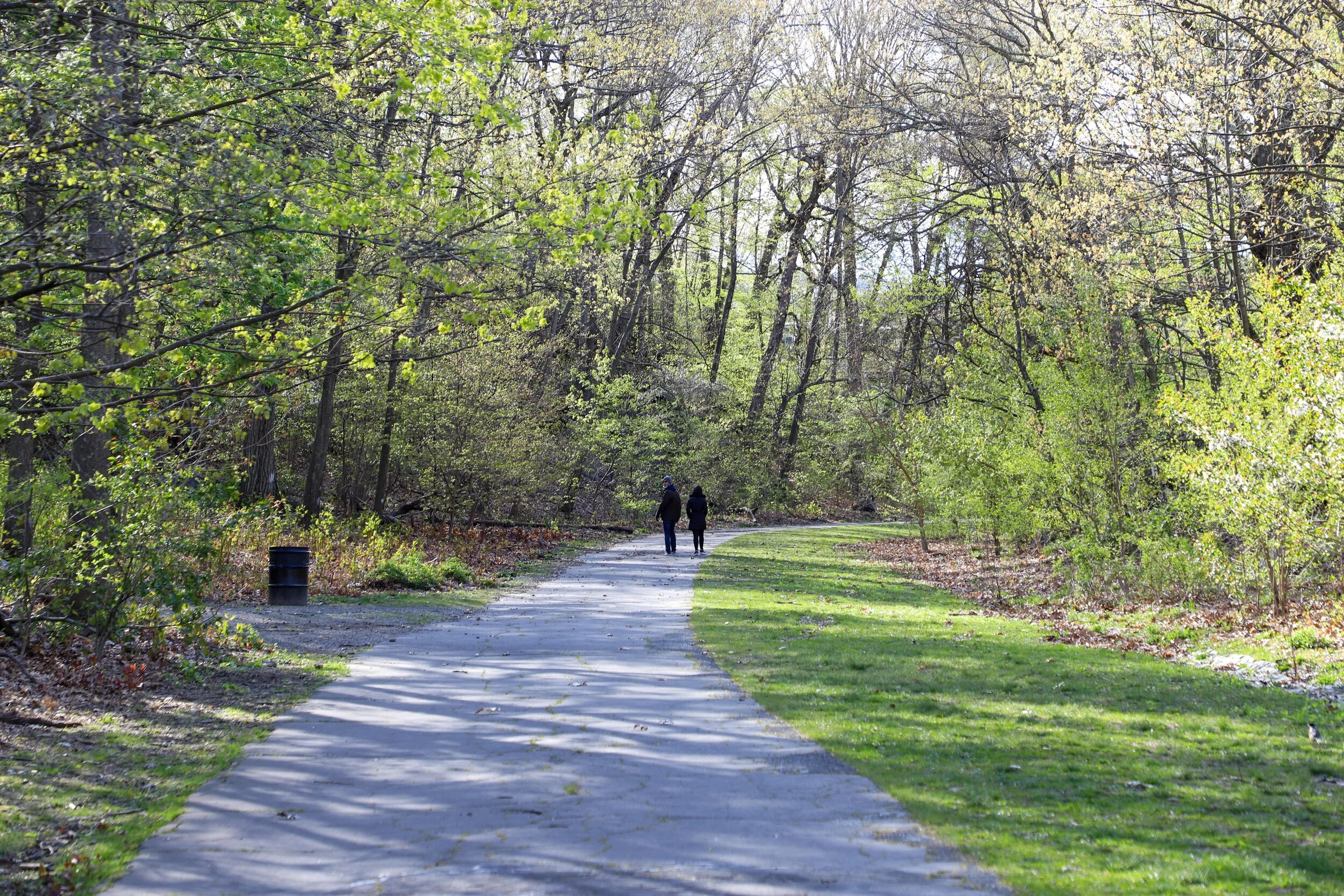
Olmsted Park Mixed-use path
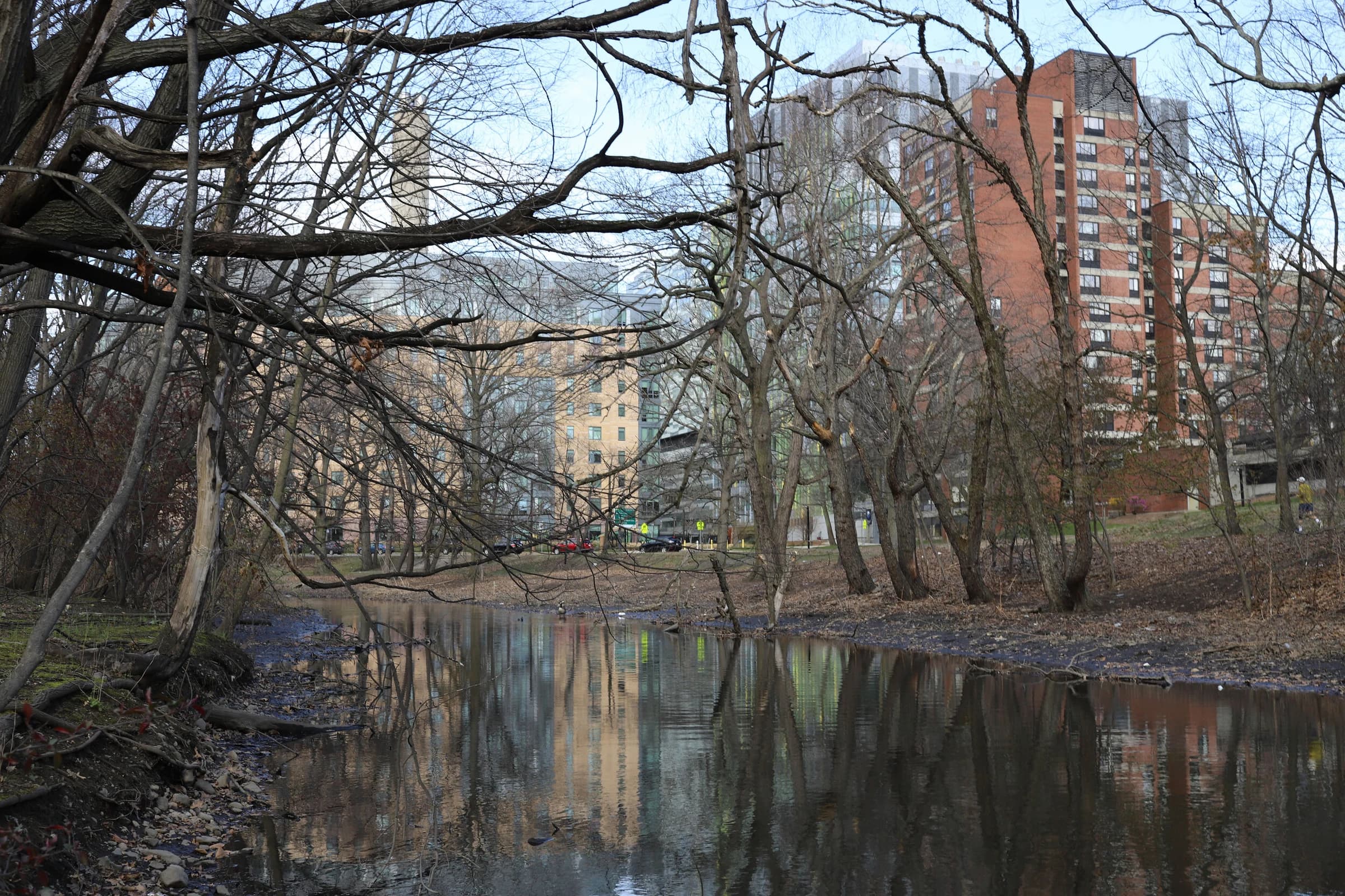
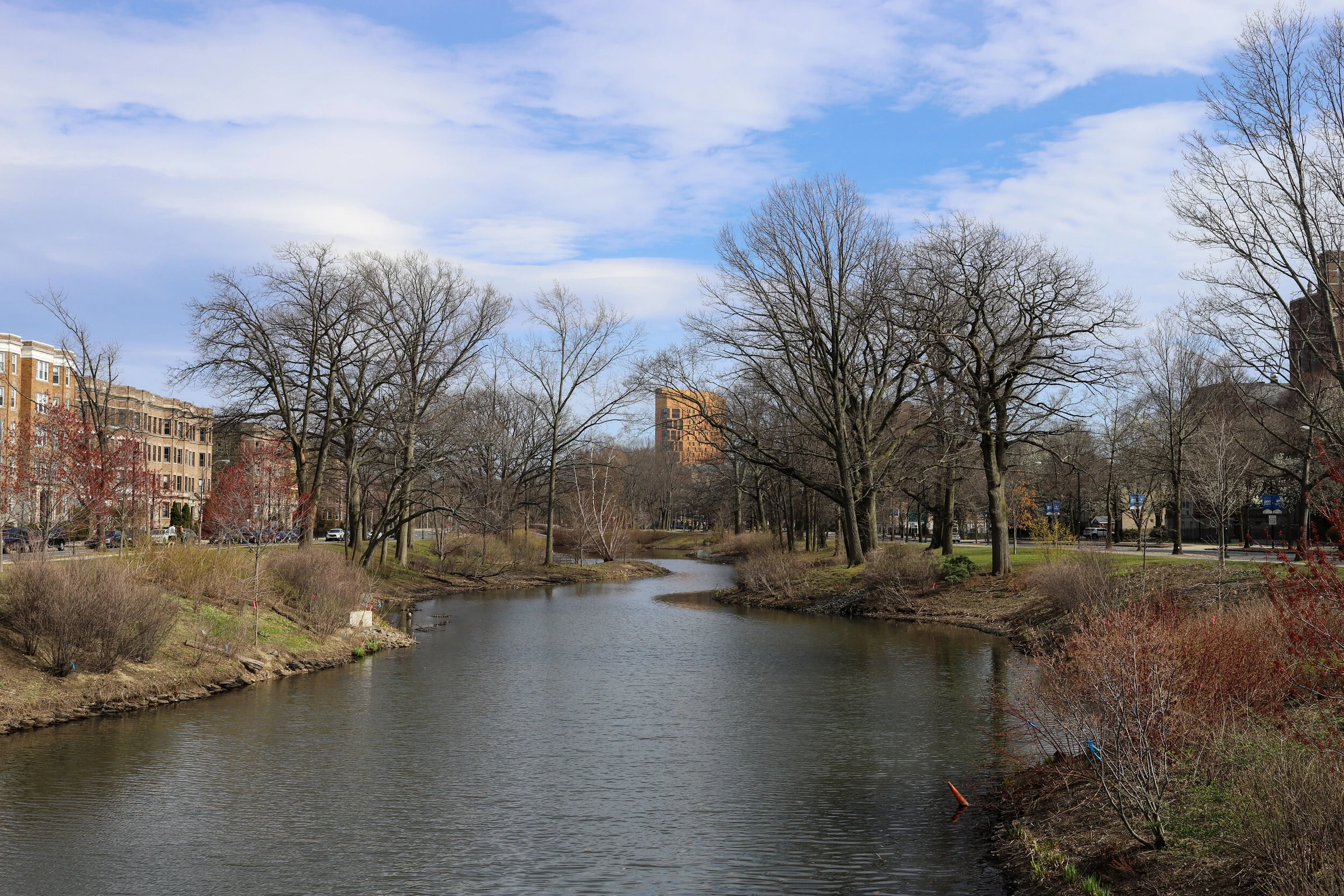
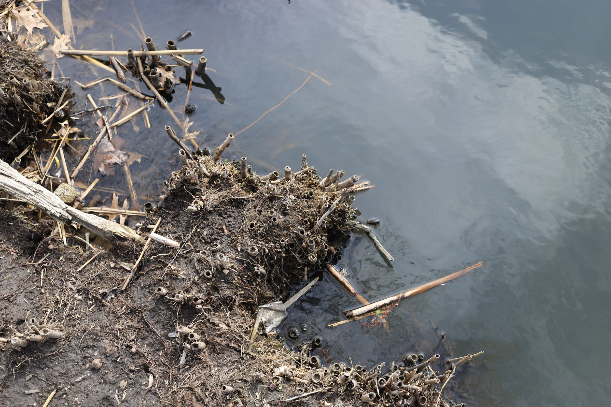
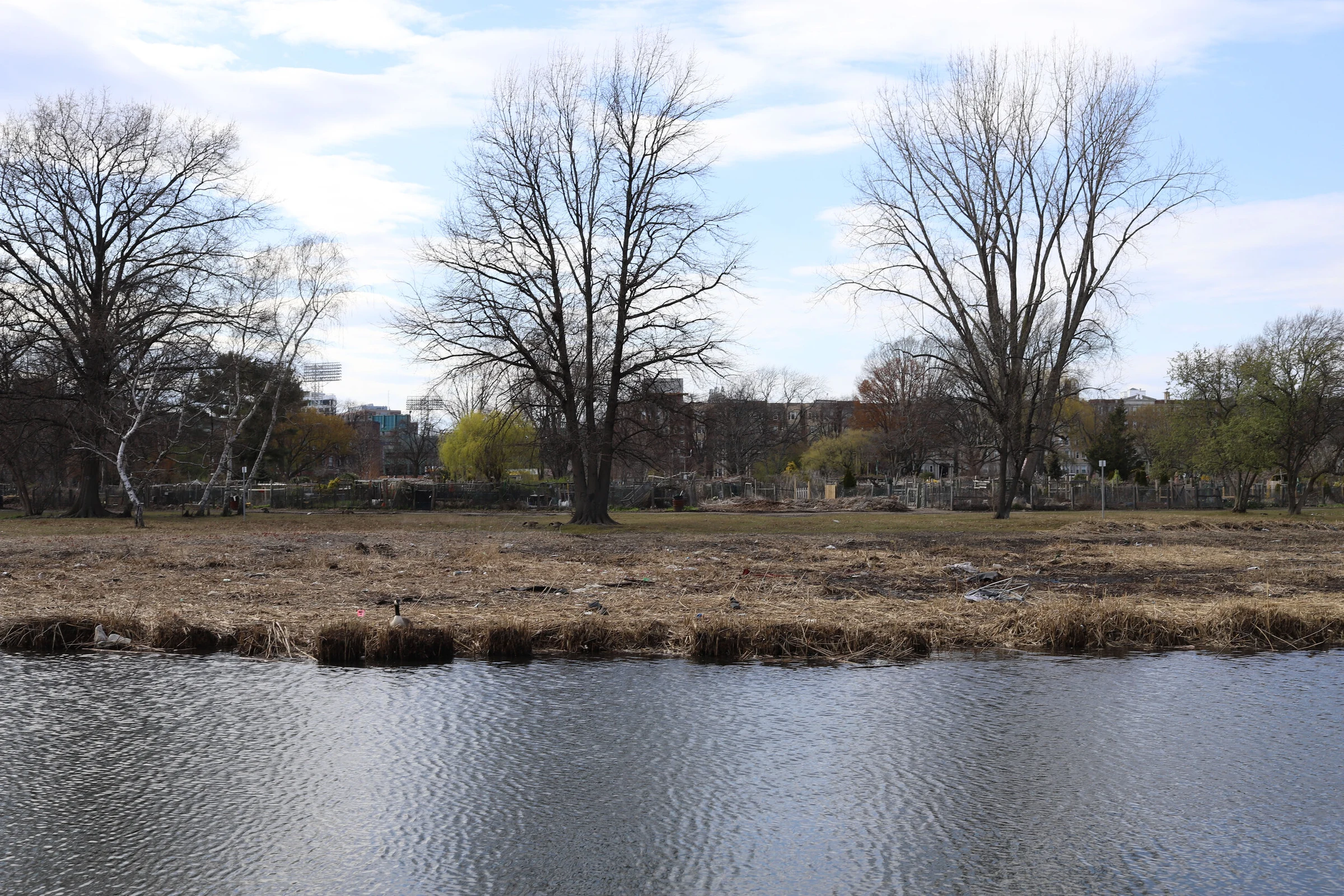
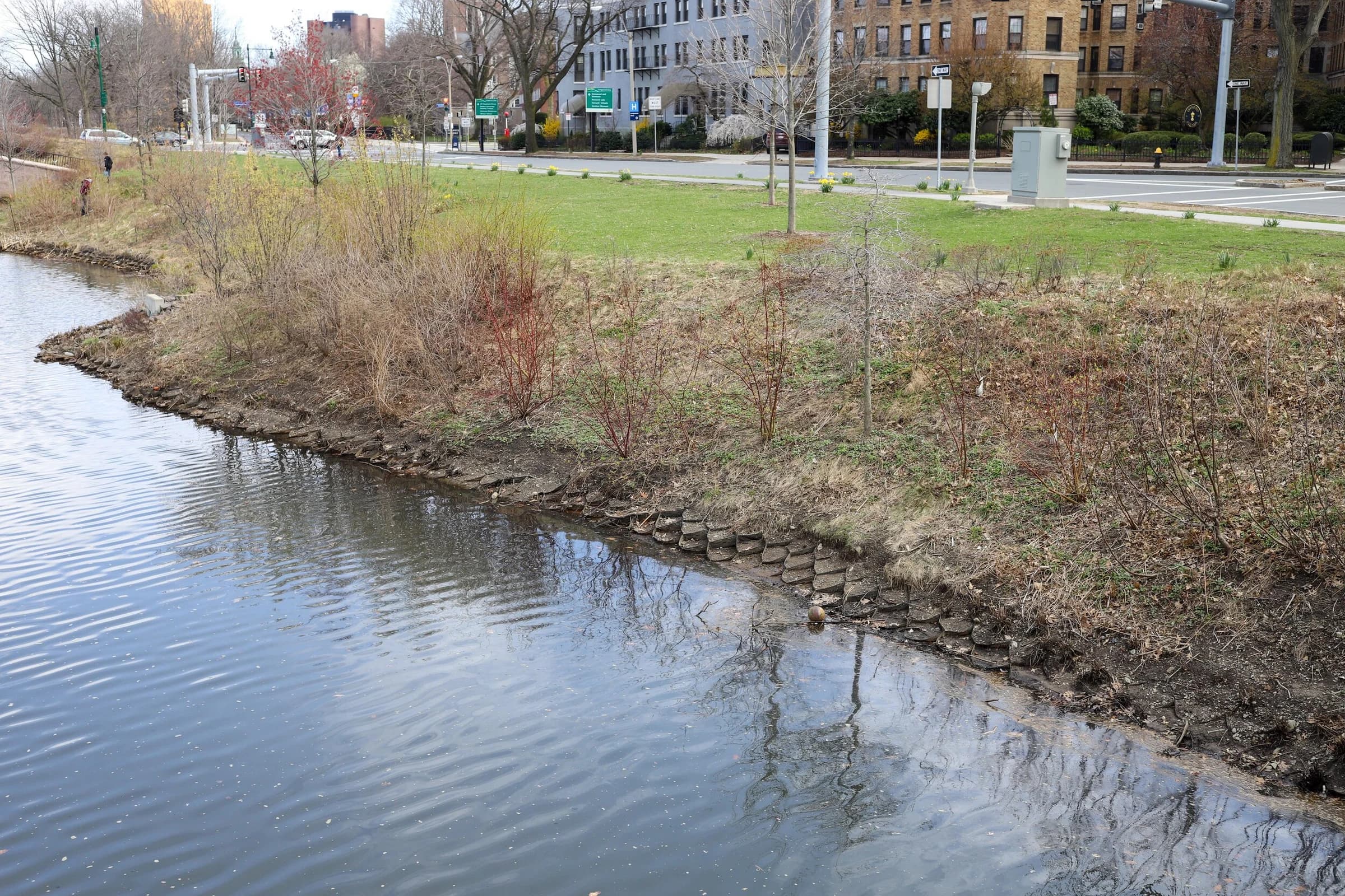
Muddy River - Disturbed Riparian Area near Longwood Avenue

Fenway Riparian Community near Massachusetts Avenue with Cut Phragmites Visible

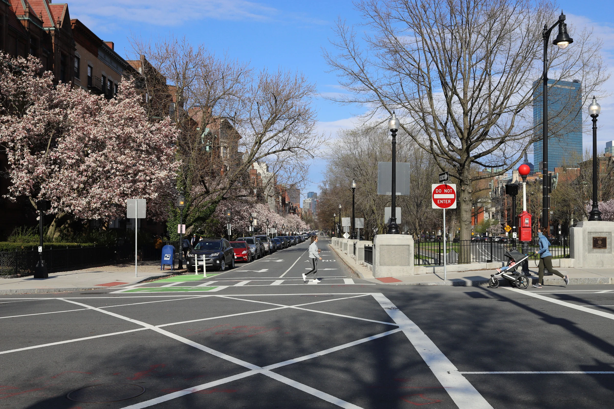
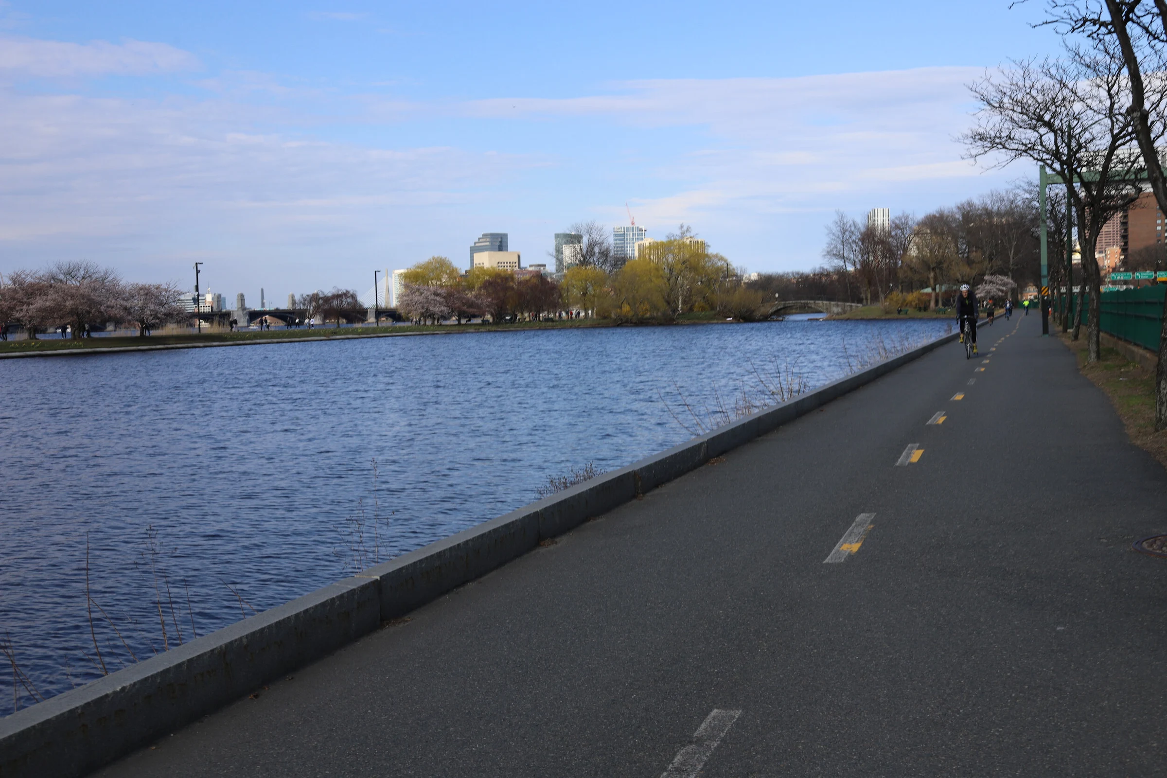
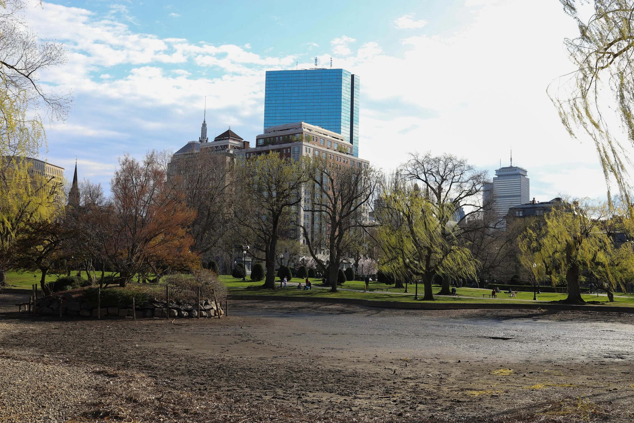
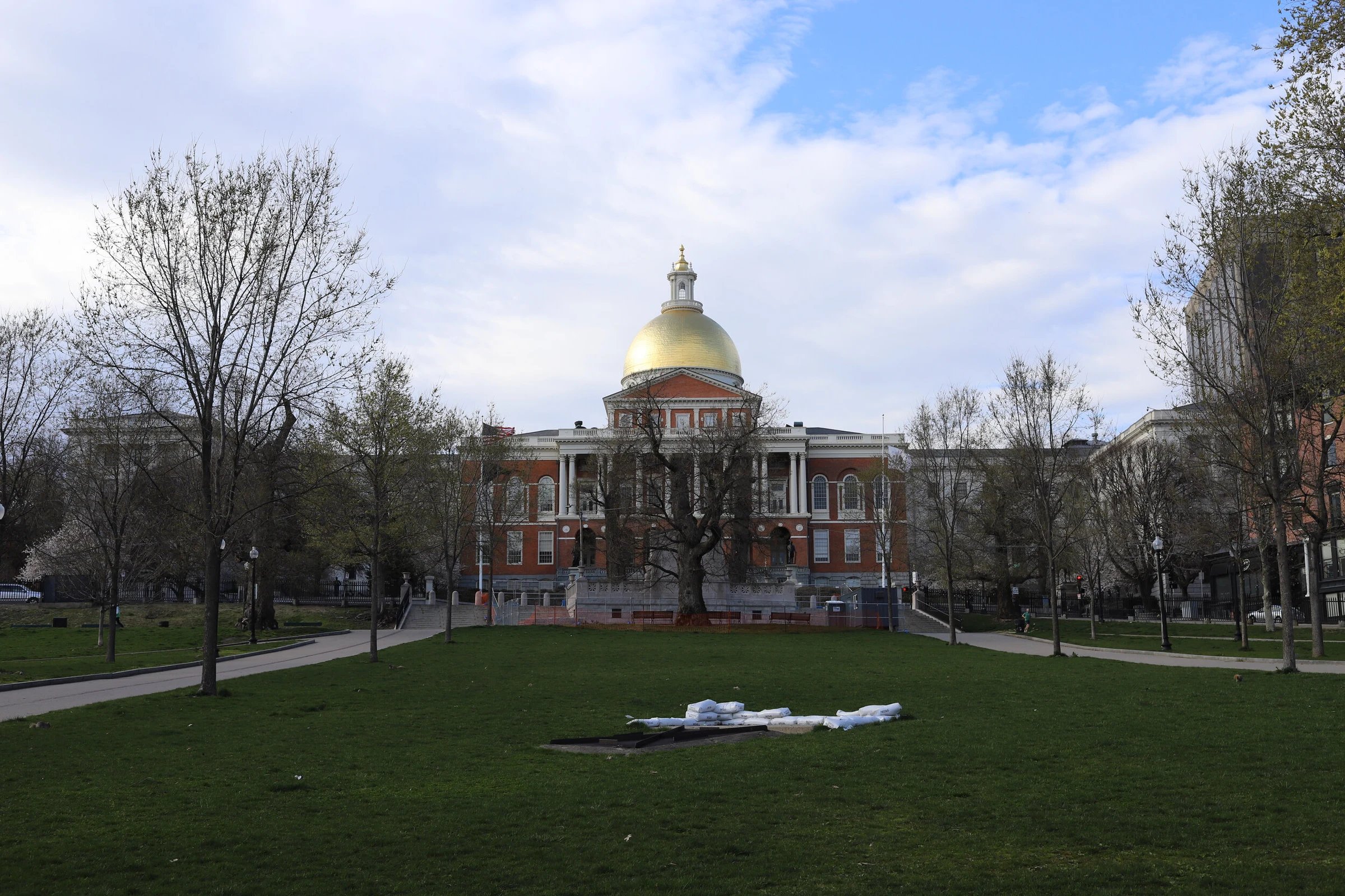
Boston Public Garden

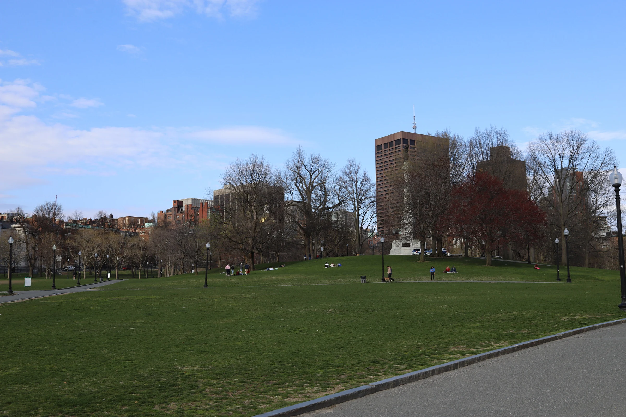
Boston Common
Selected Observations: Arnold Arboretum

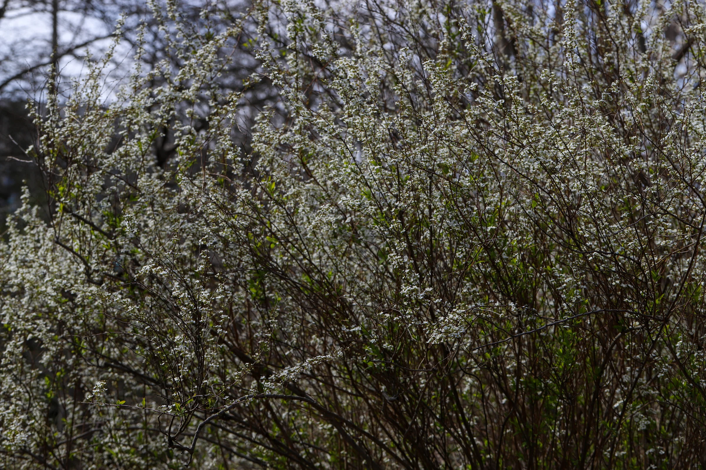
Bridalwreath Spirea
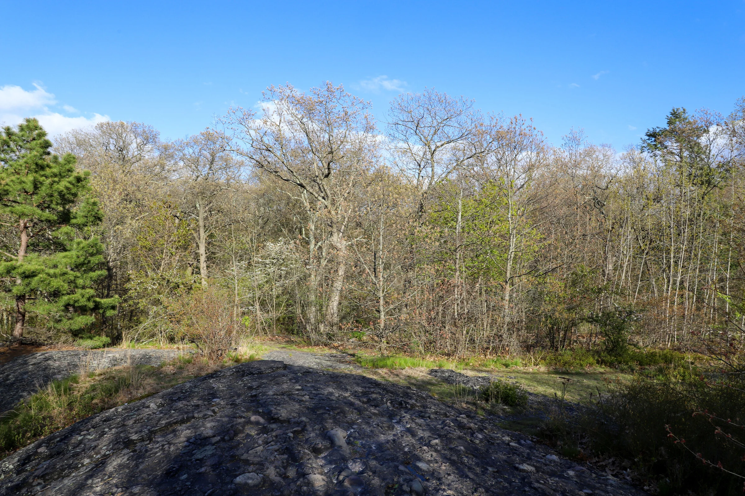
Bussey Hill Road
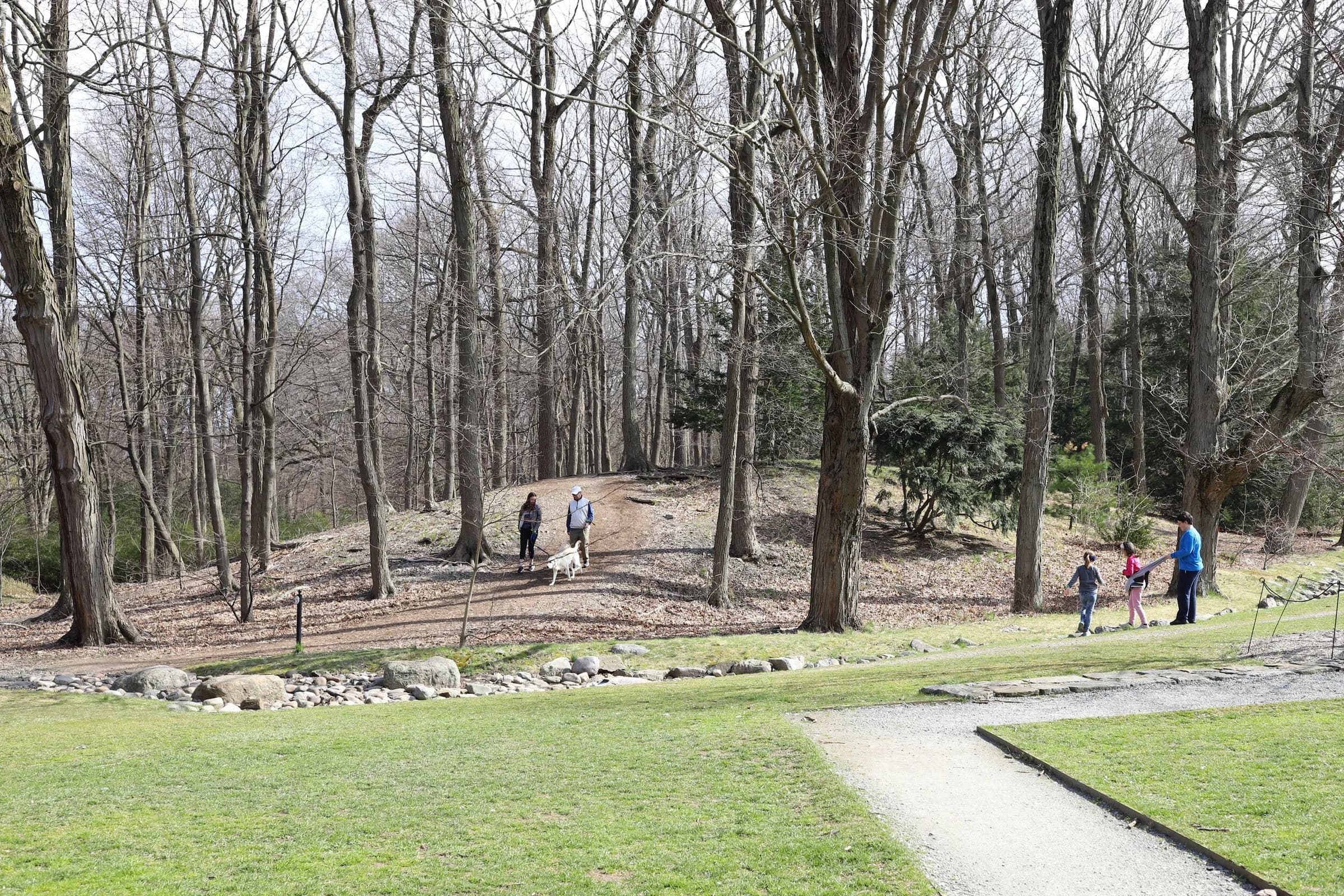
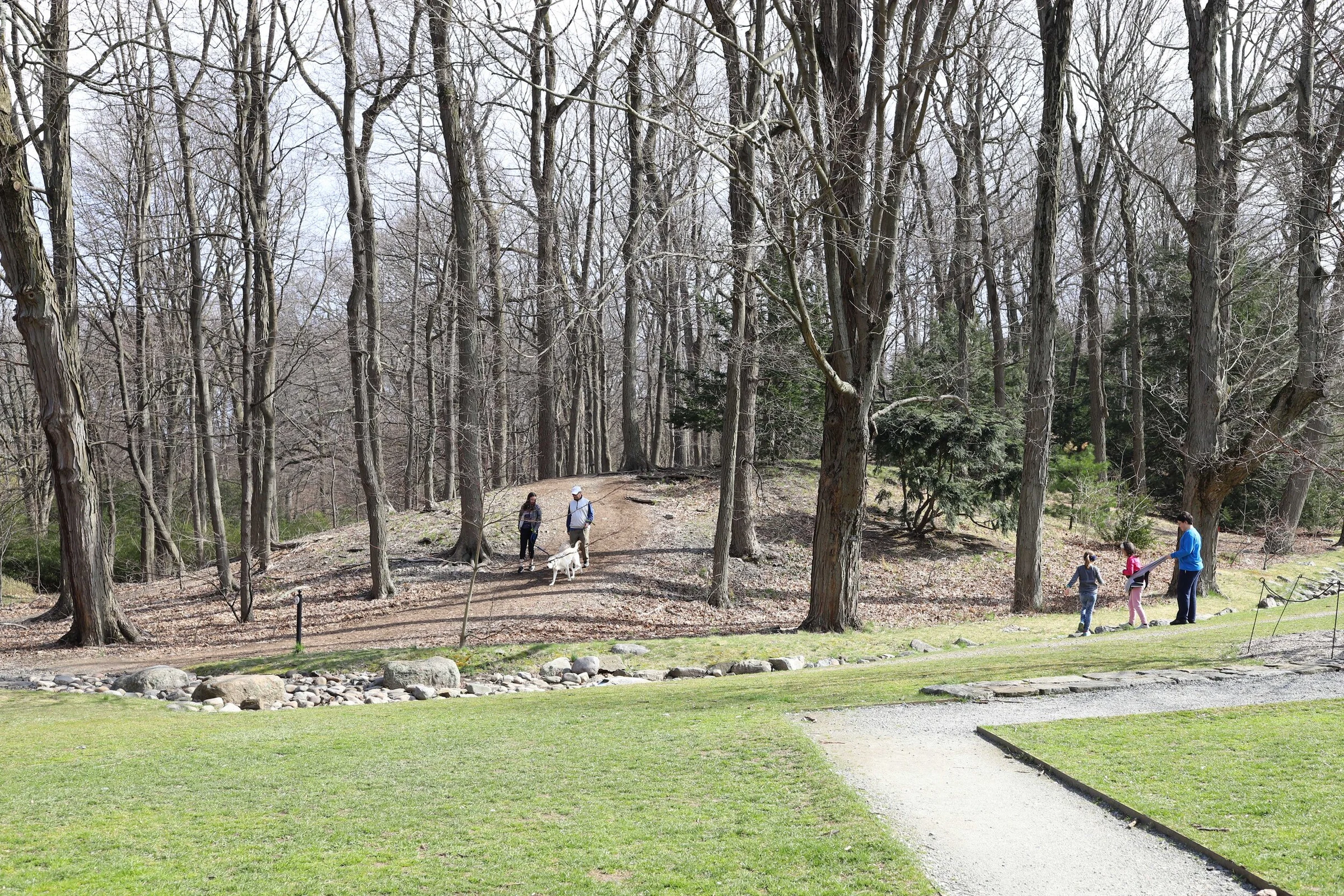
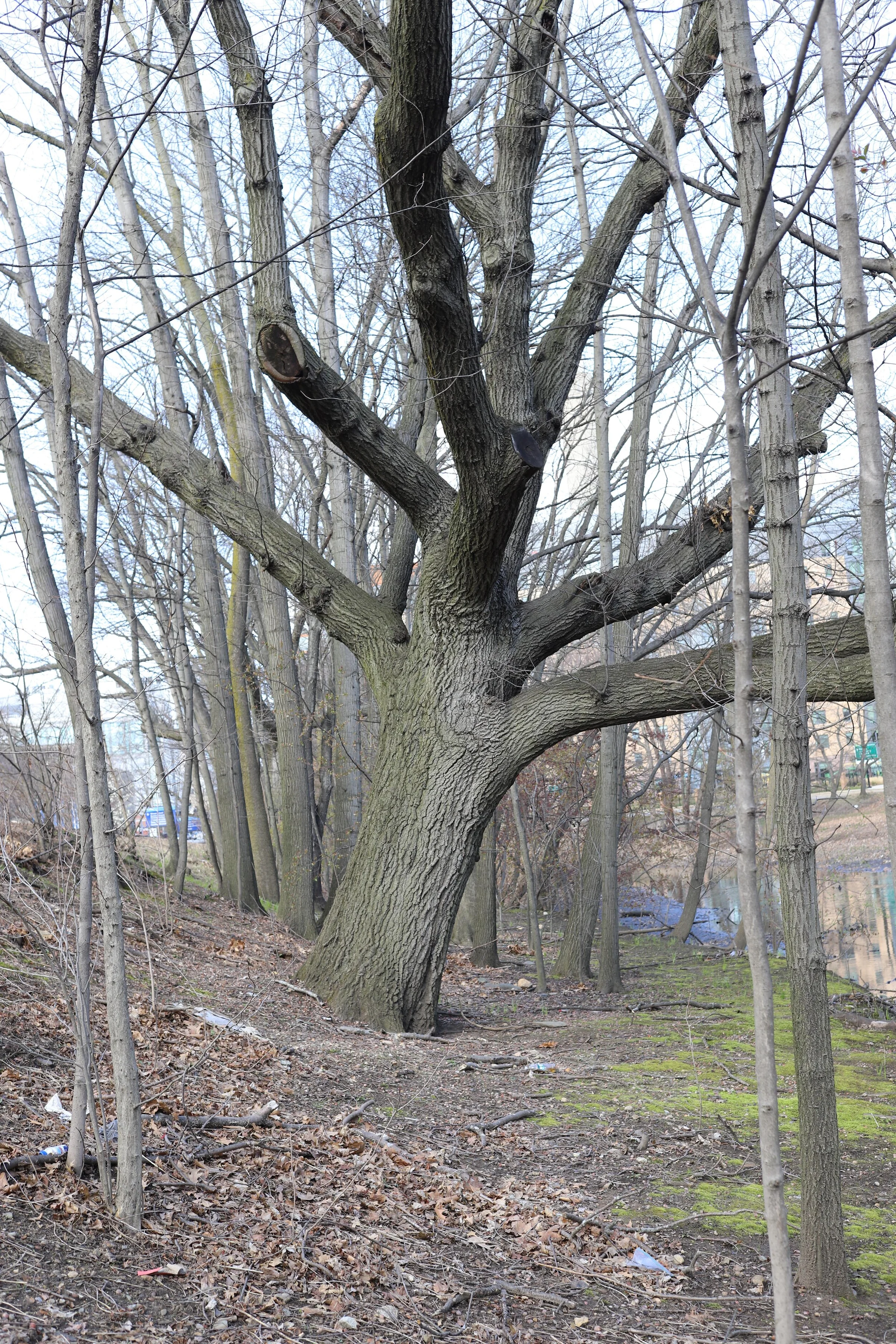
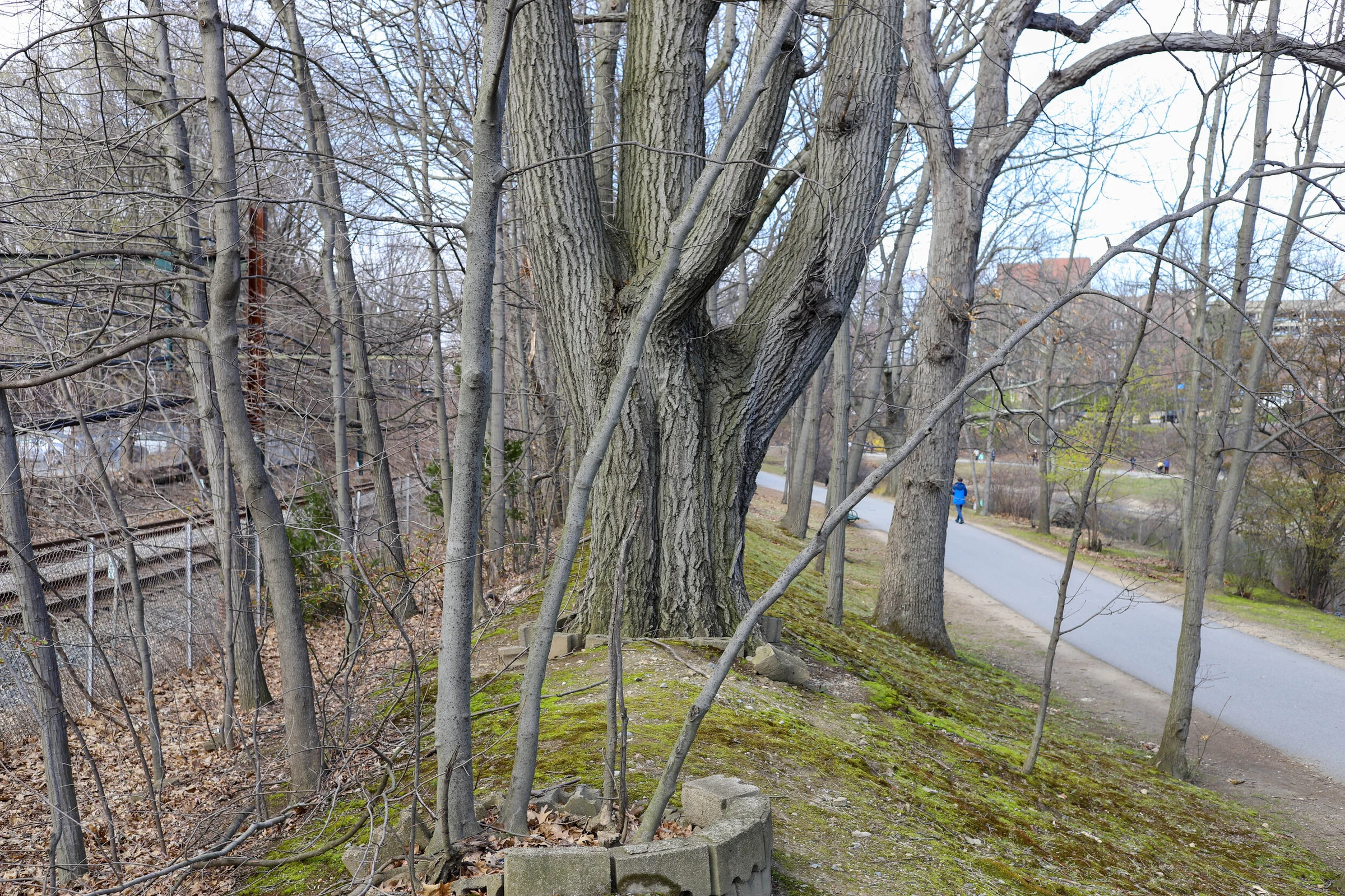
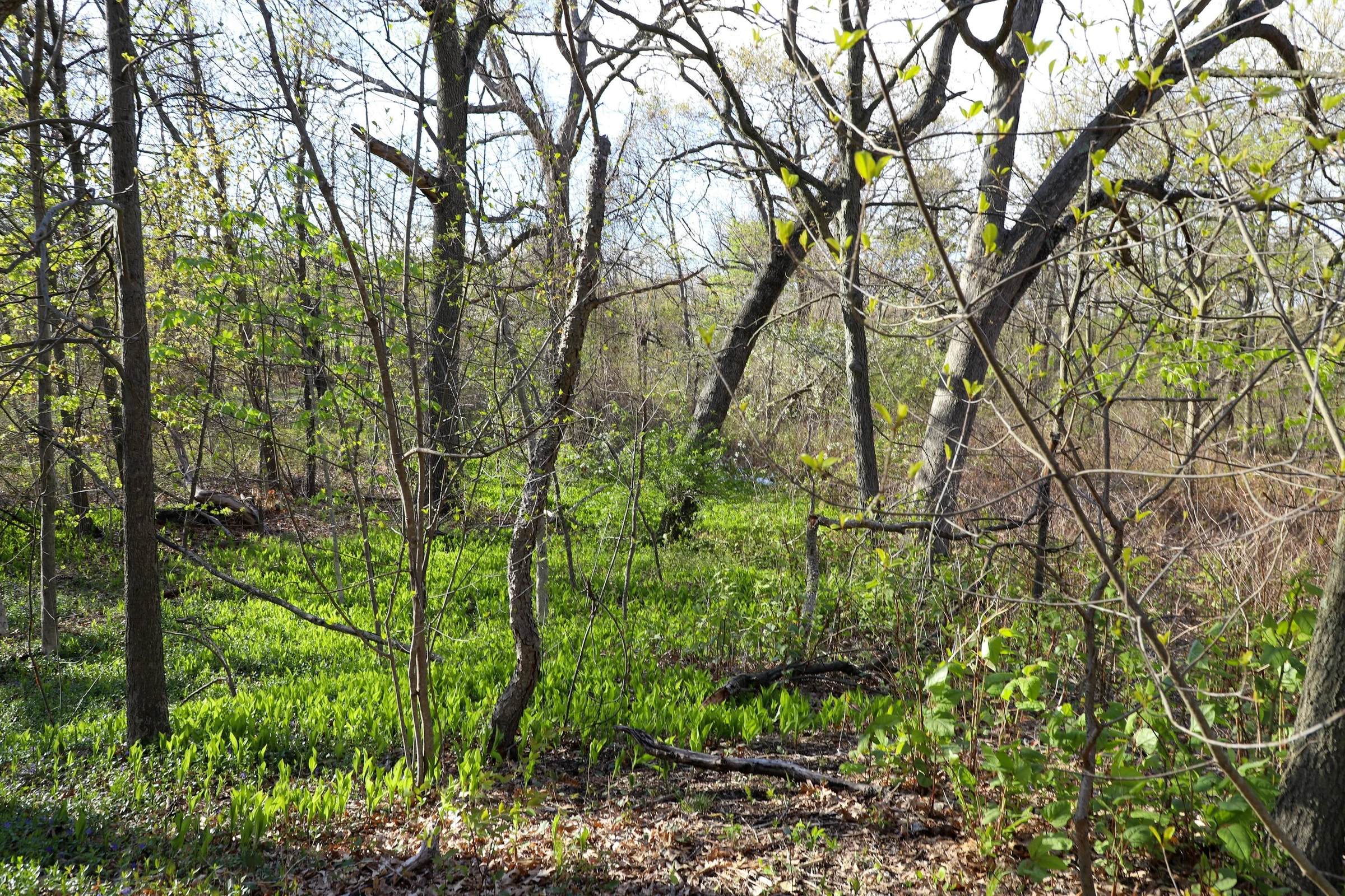
Mixed Hardwood Stand
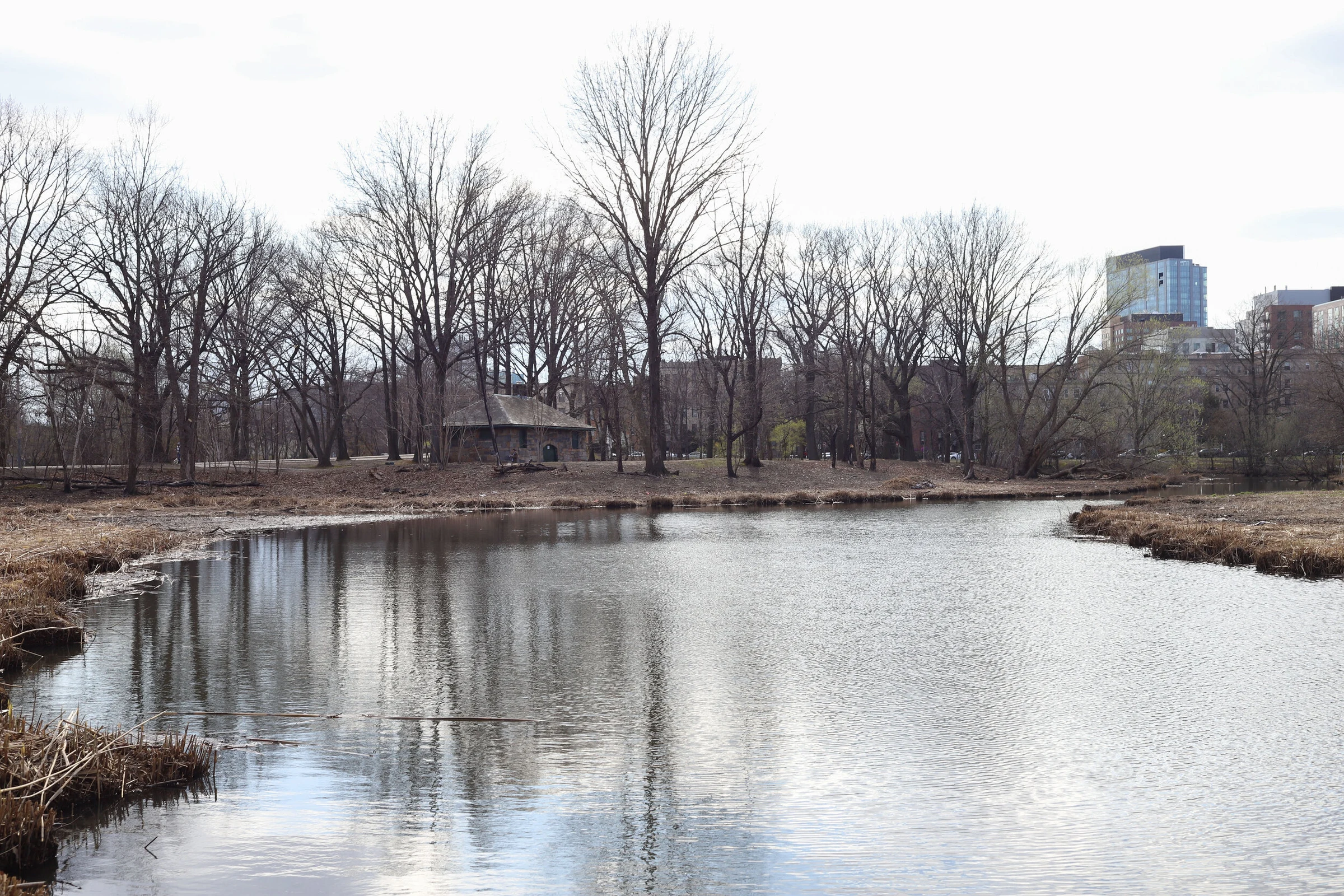
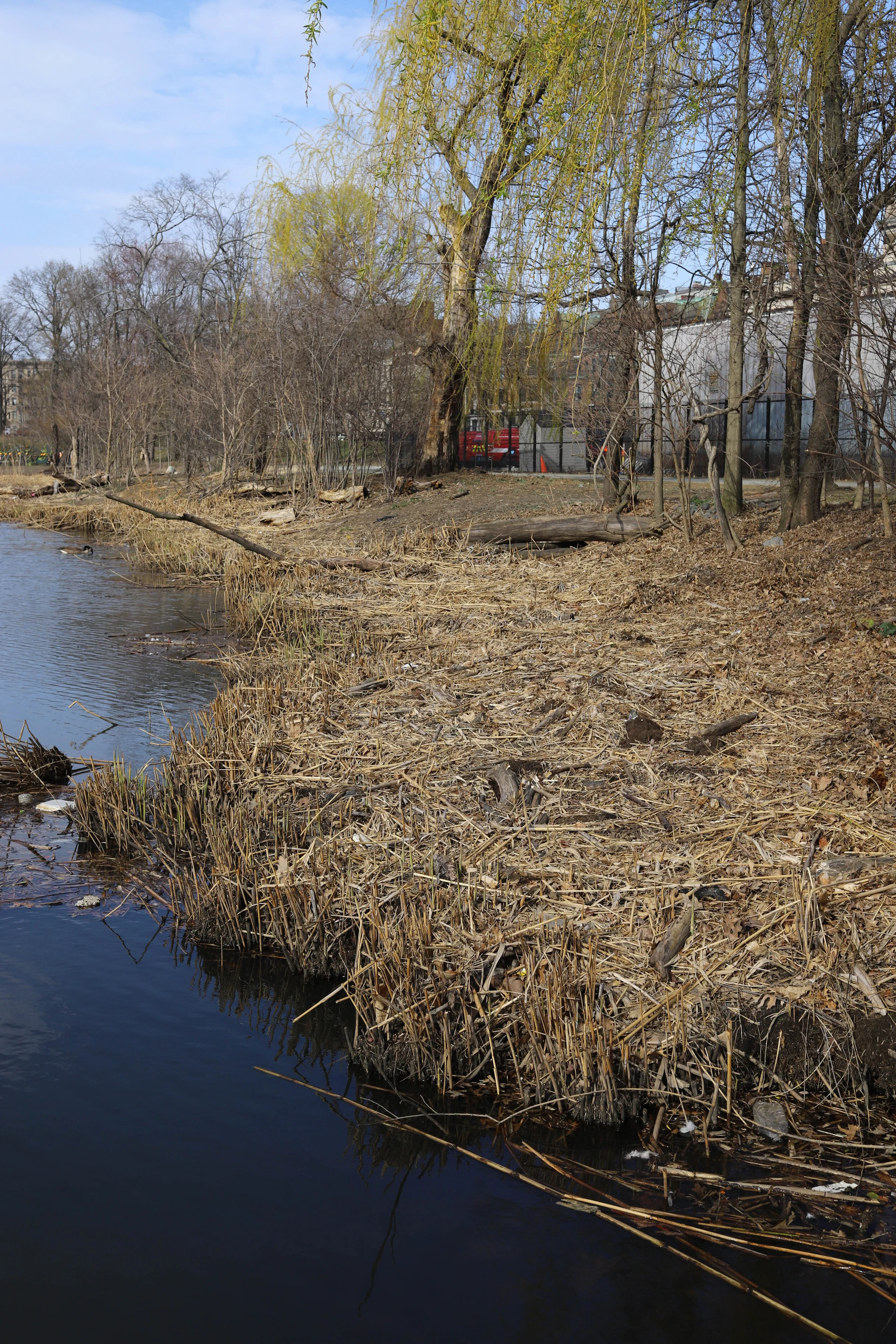
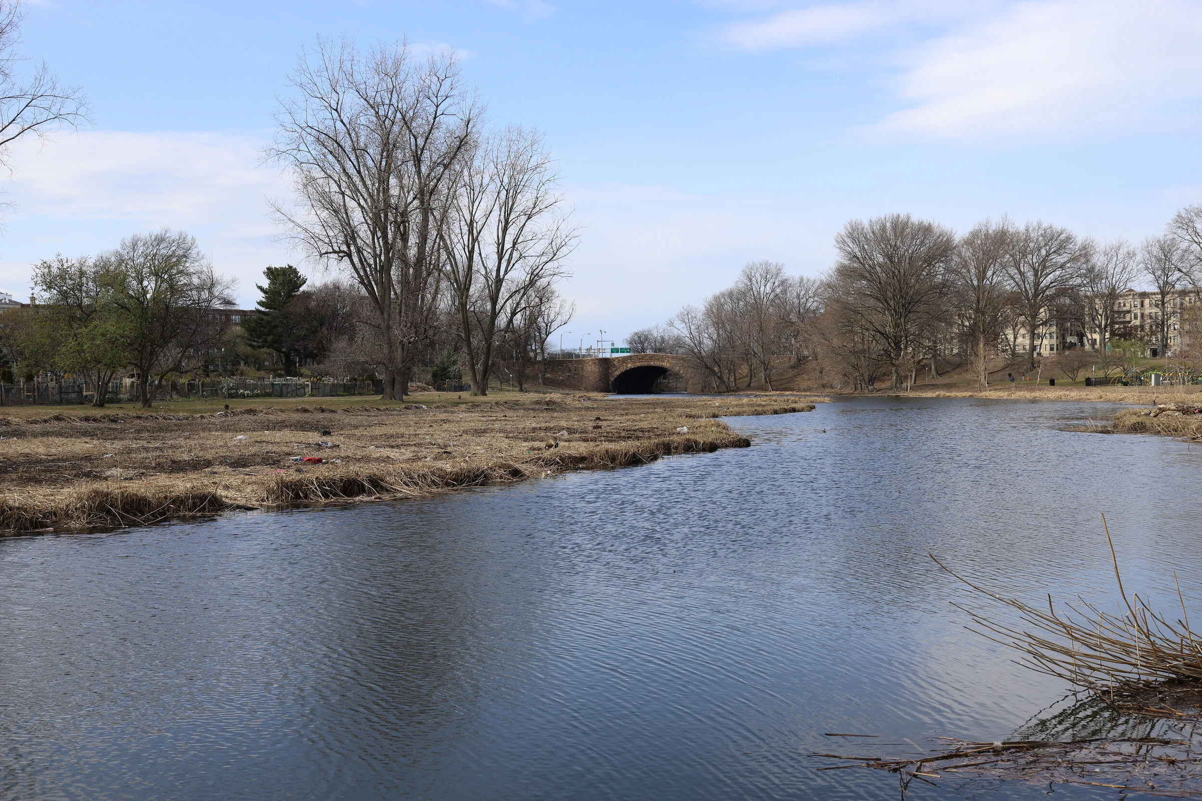
Selected Observations: Muddy River Restoration Project Site
Riparian Erosion Control Embankment
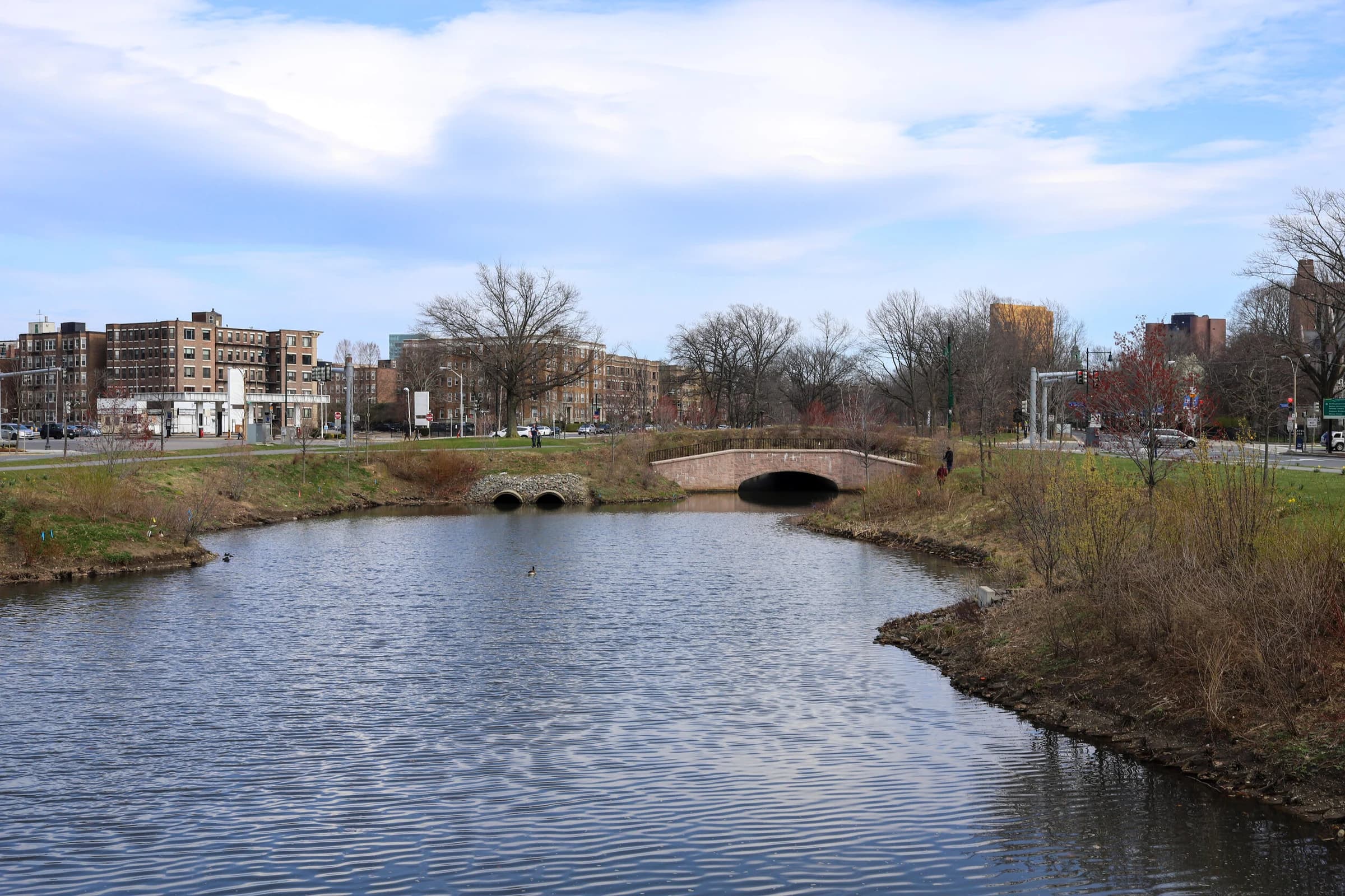
Daylighted Area
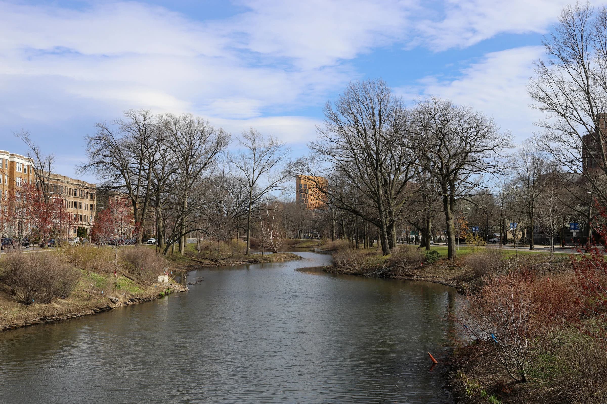
Restored Area
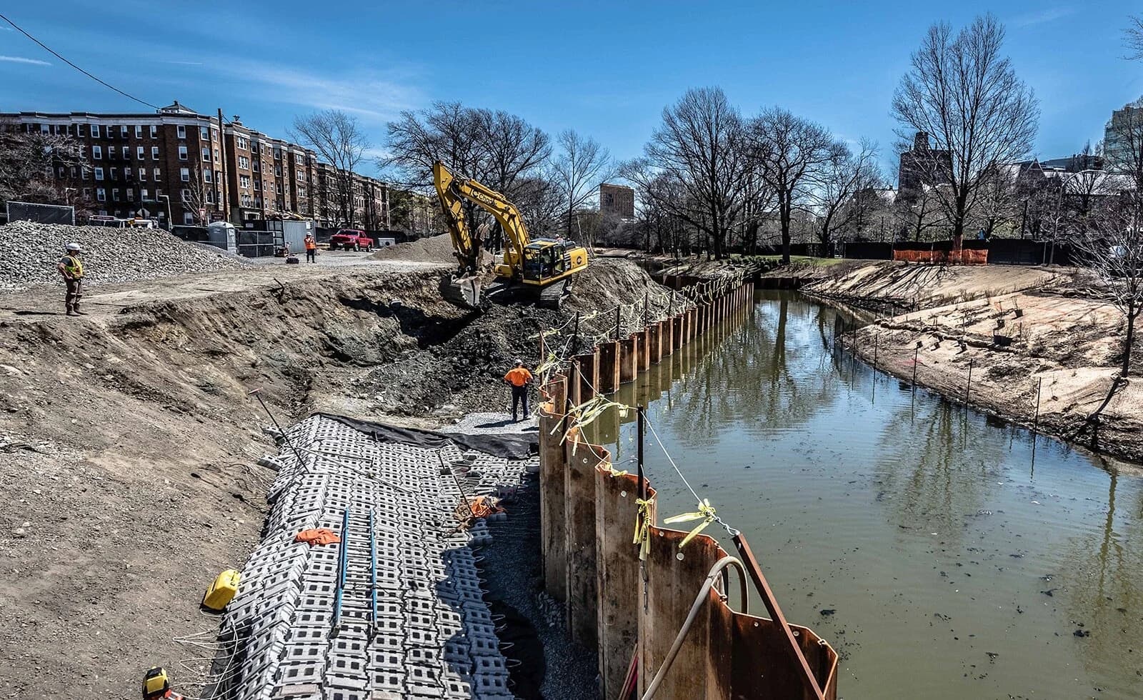
Muddy River Construction Progress ~2016

Muddy River Flood: January 2010
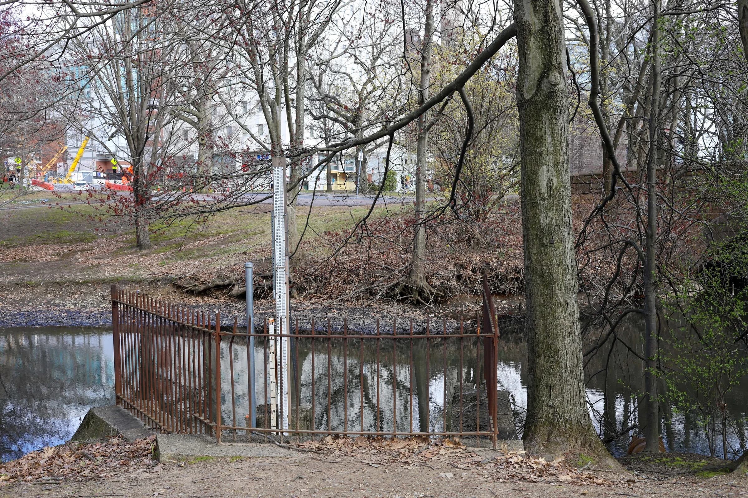
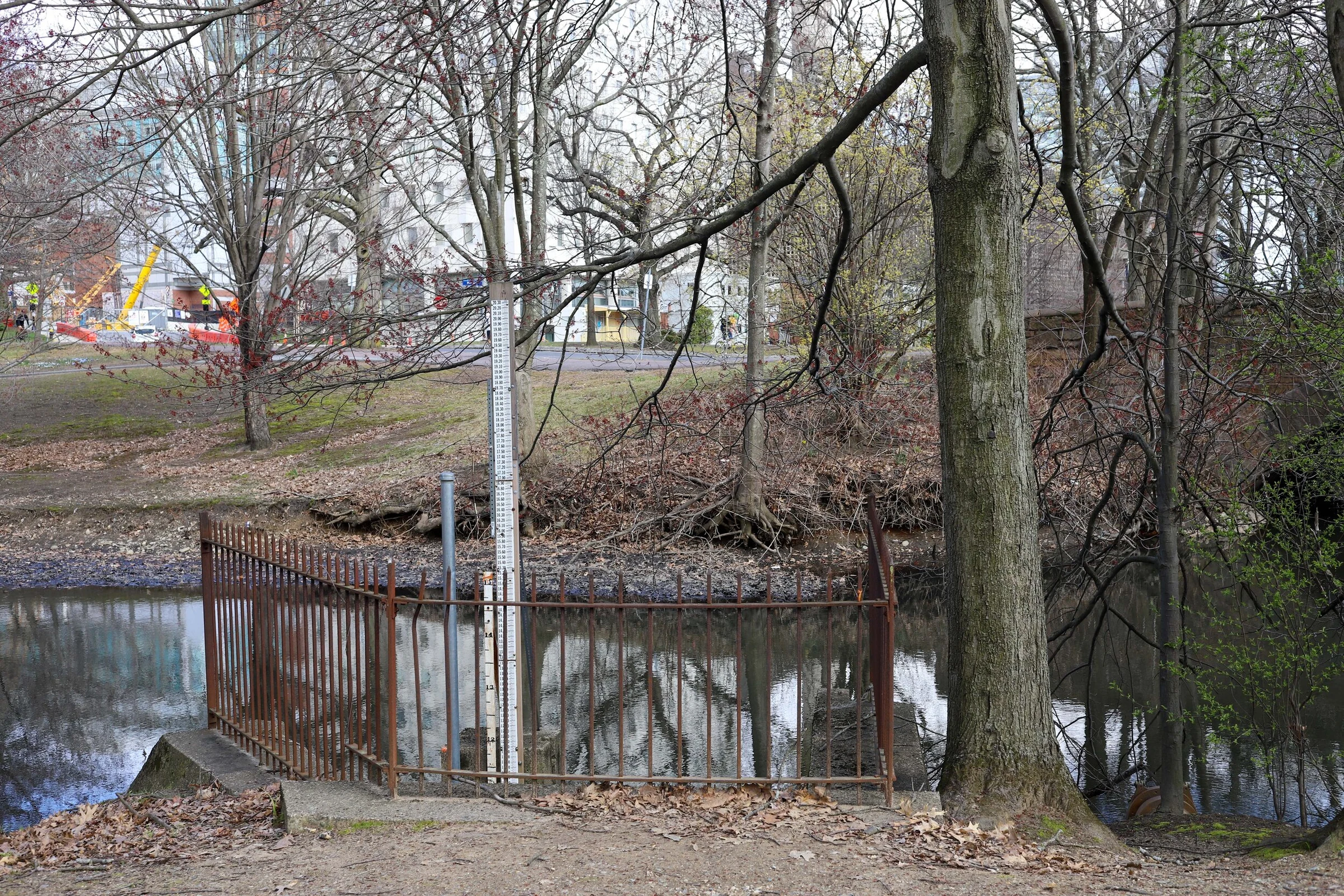
Moody River Flood Gauge: April 2020
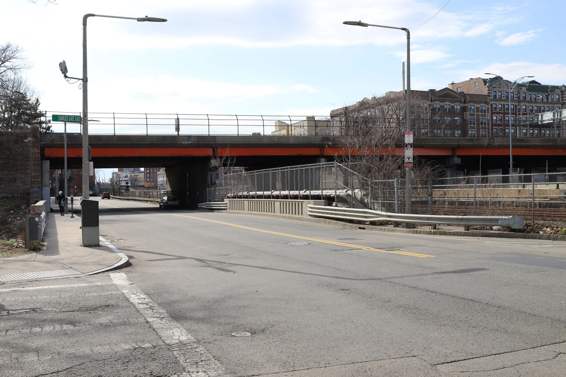
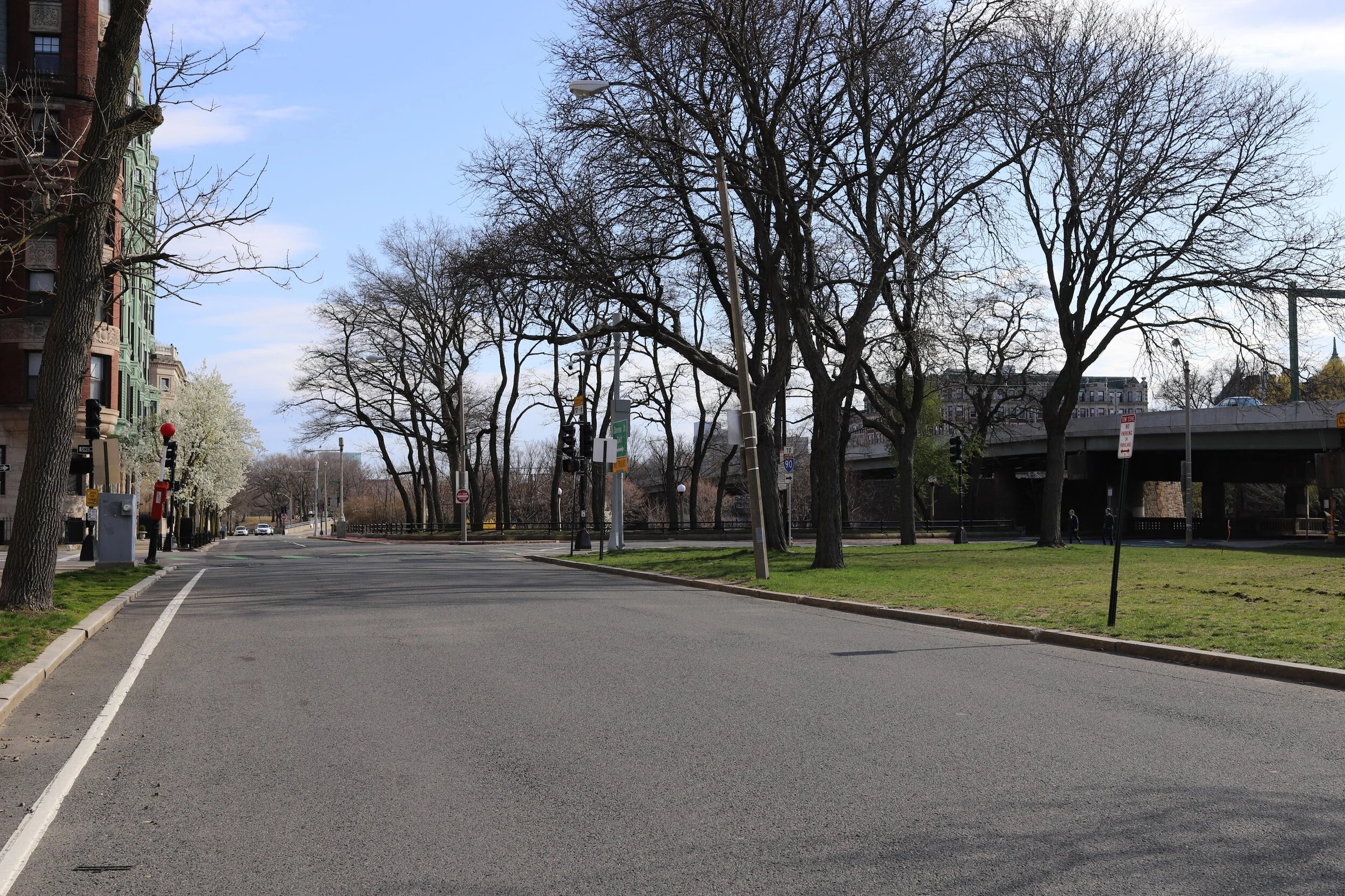
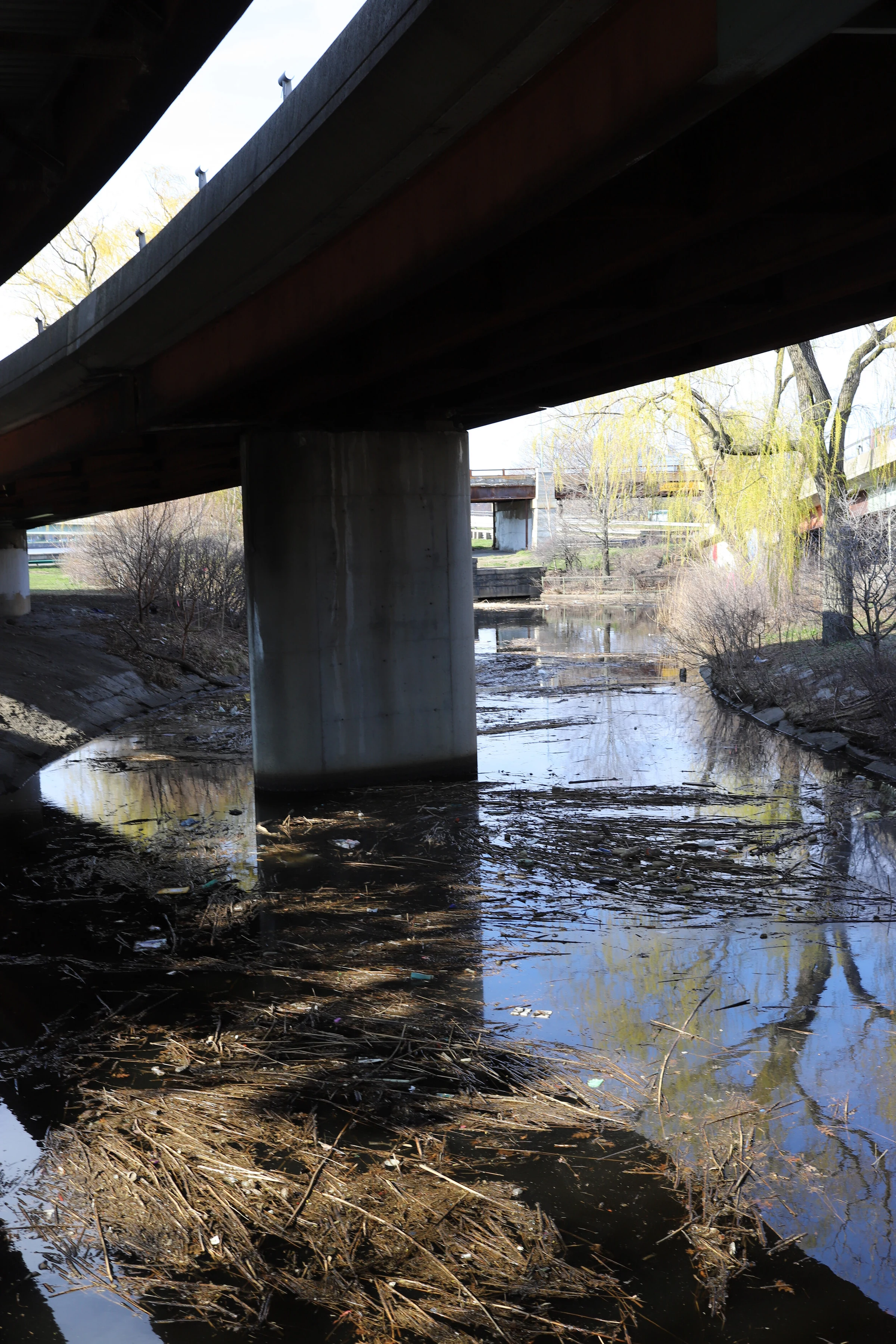
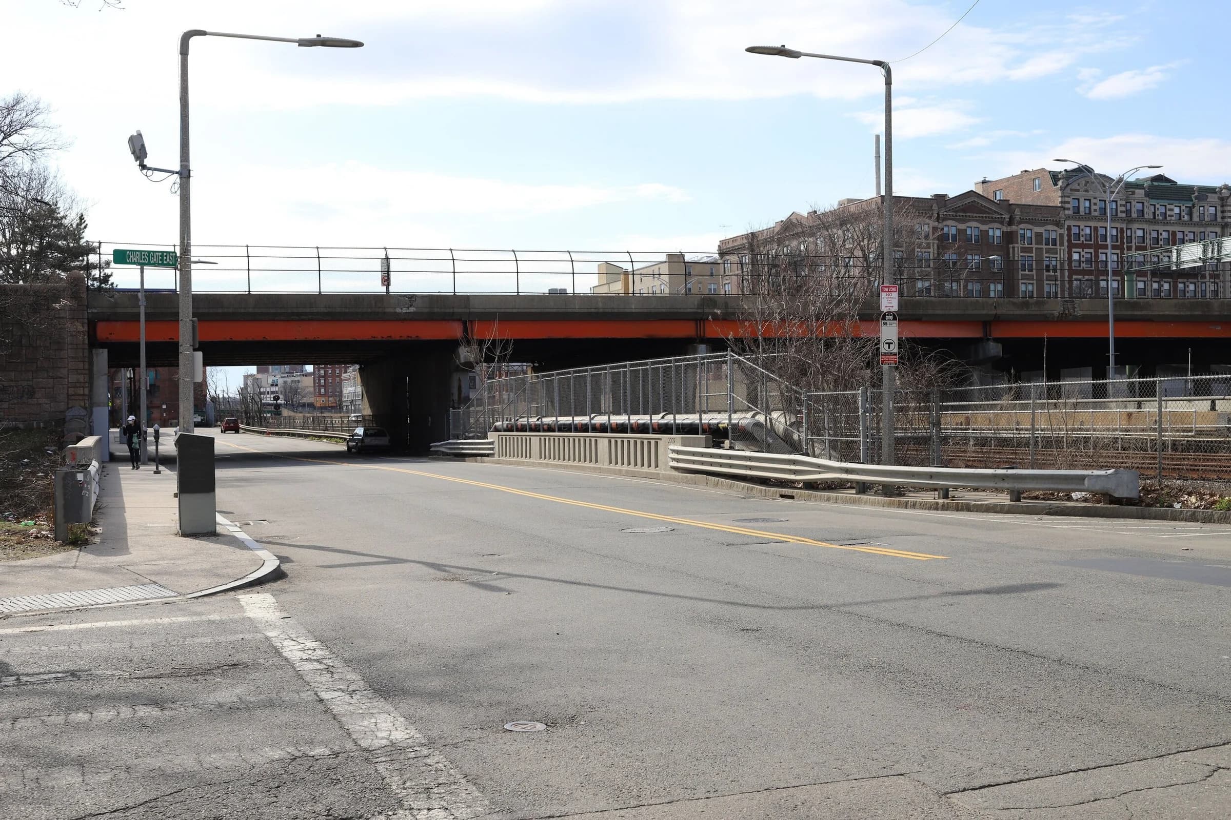
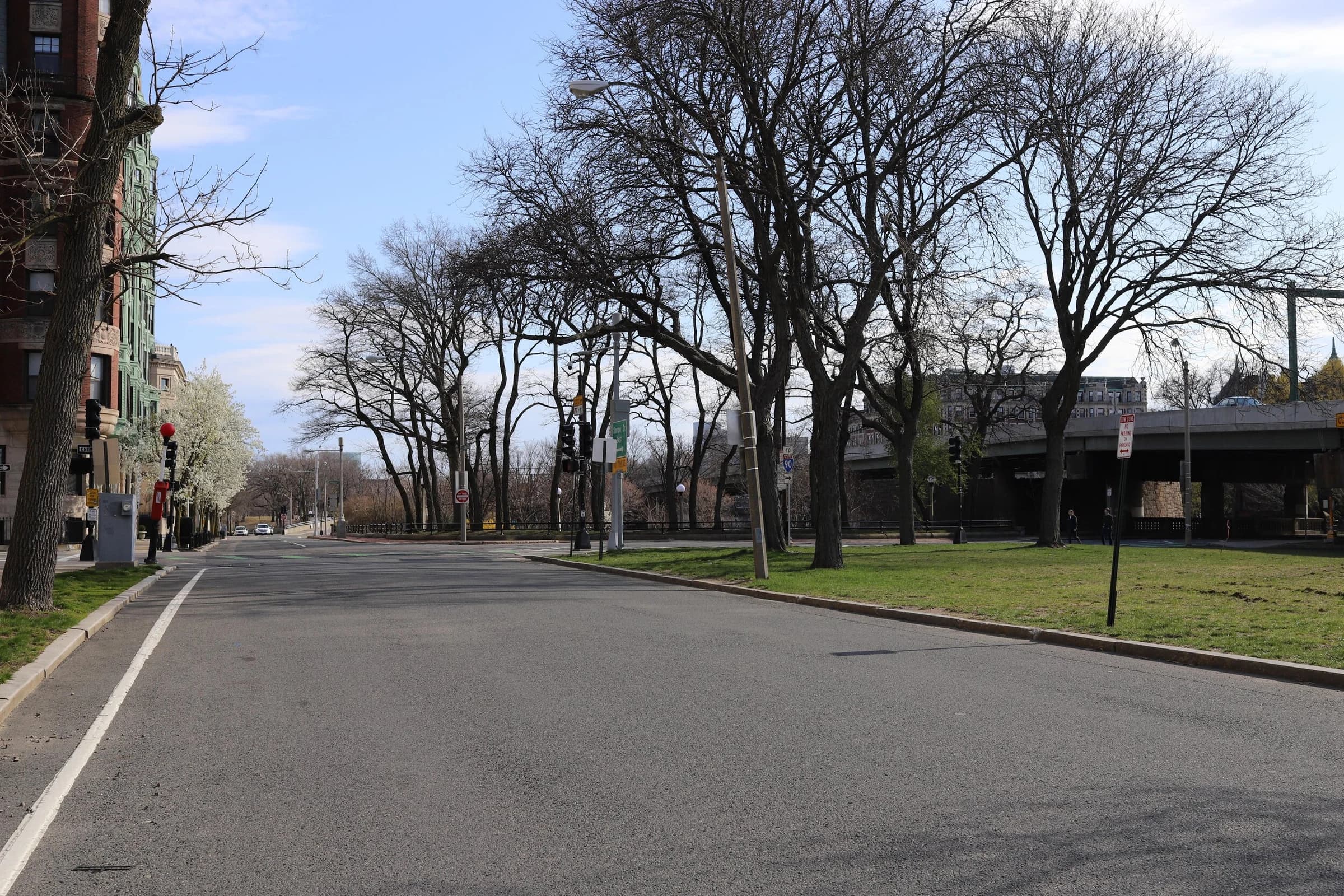
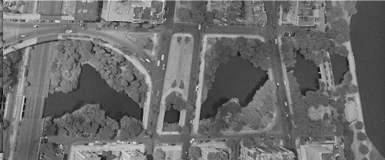
Selected Observations: Charlesgate Park
South View with I-90 Visible
North View
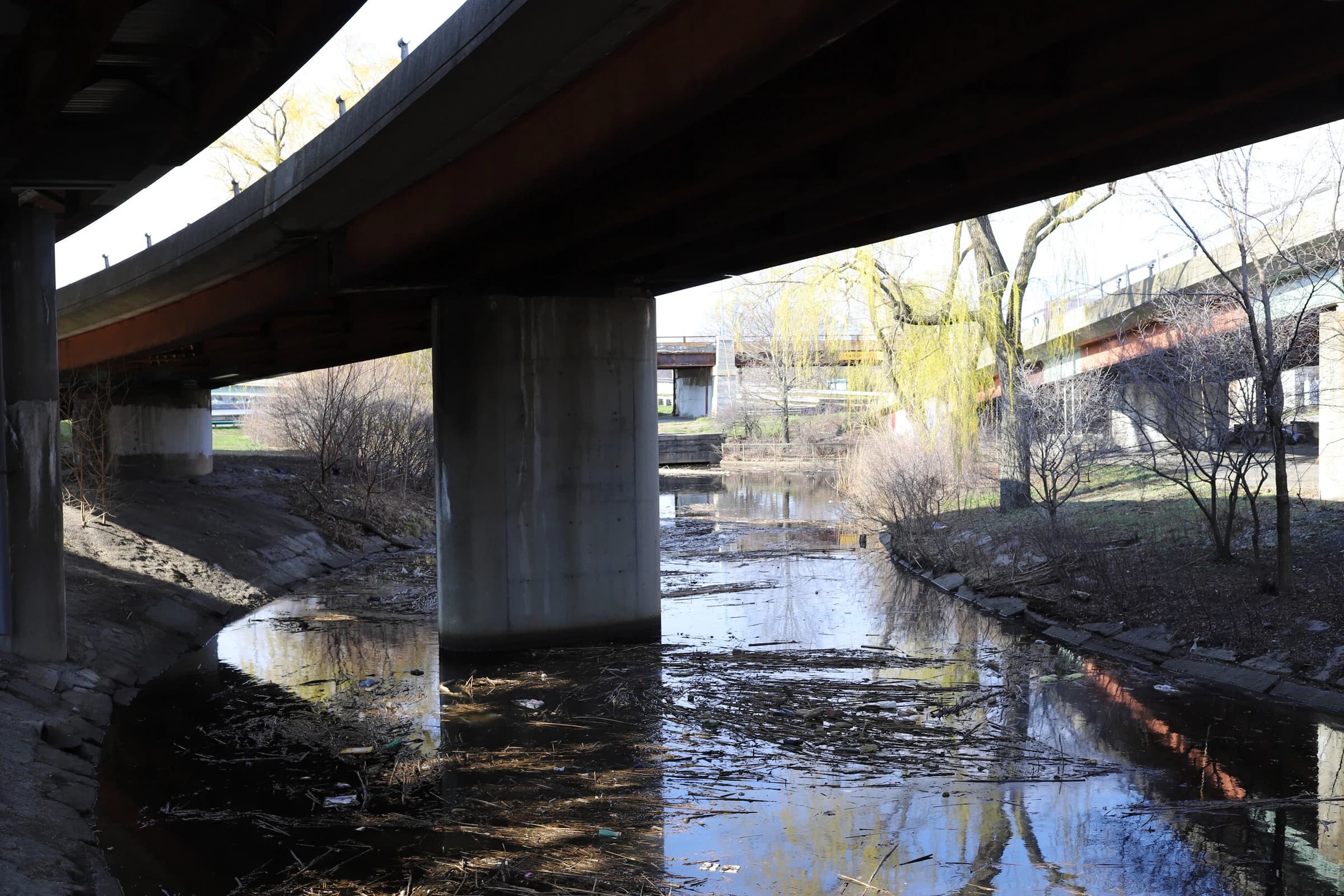
Underneath the Bowker Overpass

Charlesgate - Satellite View
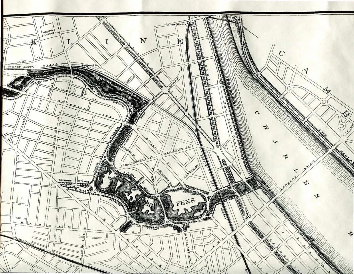
Charlesgate Original Plan
Aerial view - 1920's
Field Day 2


Field Day 2: Site Overviews
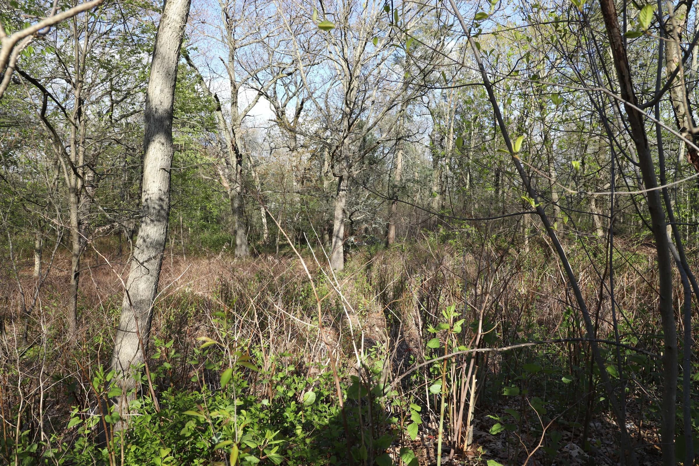
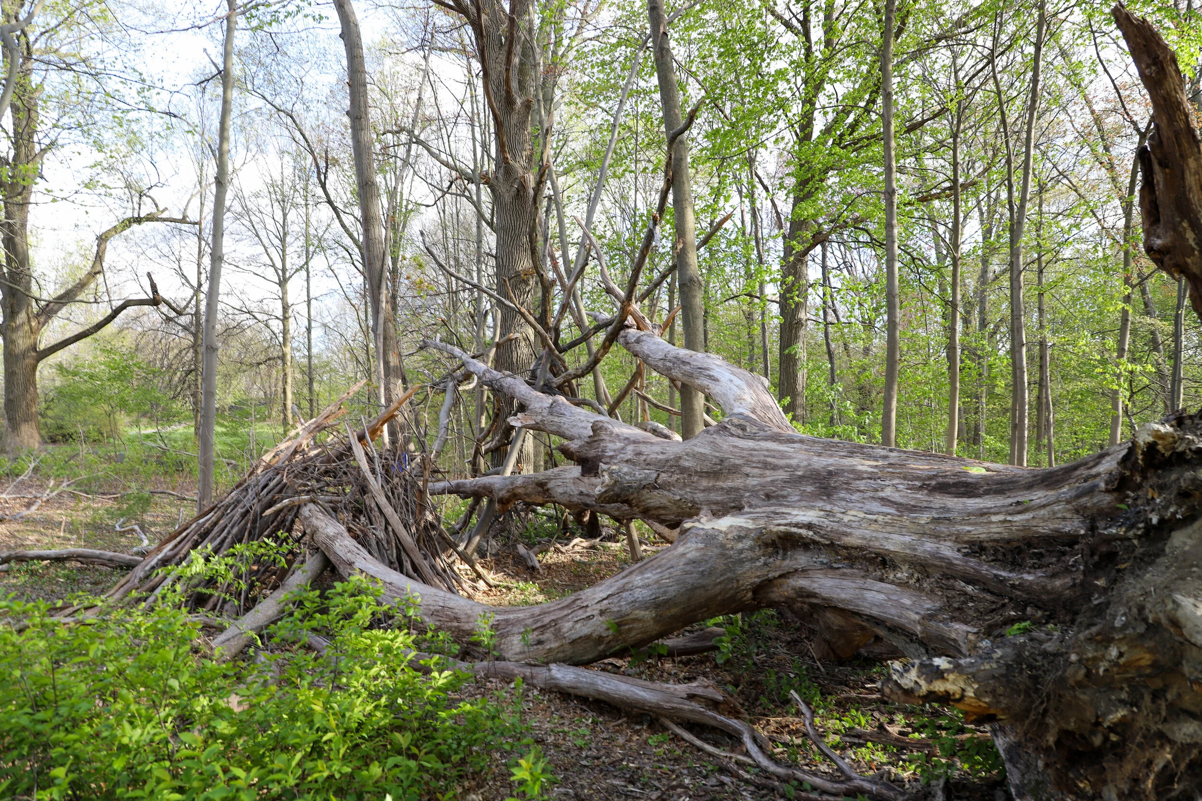
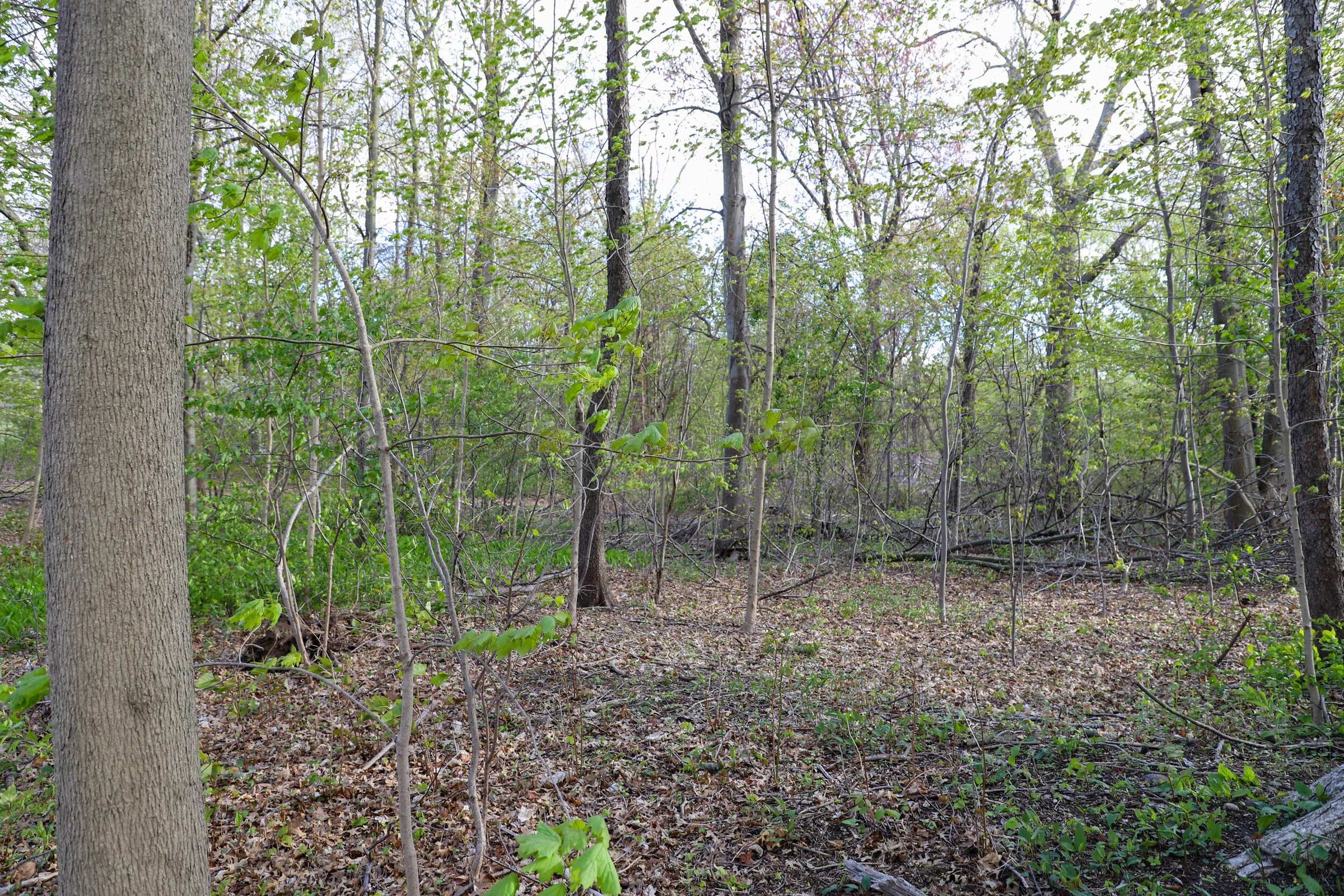
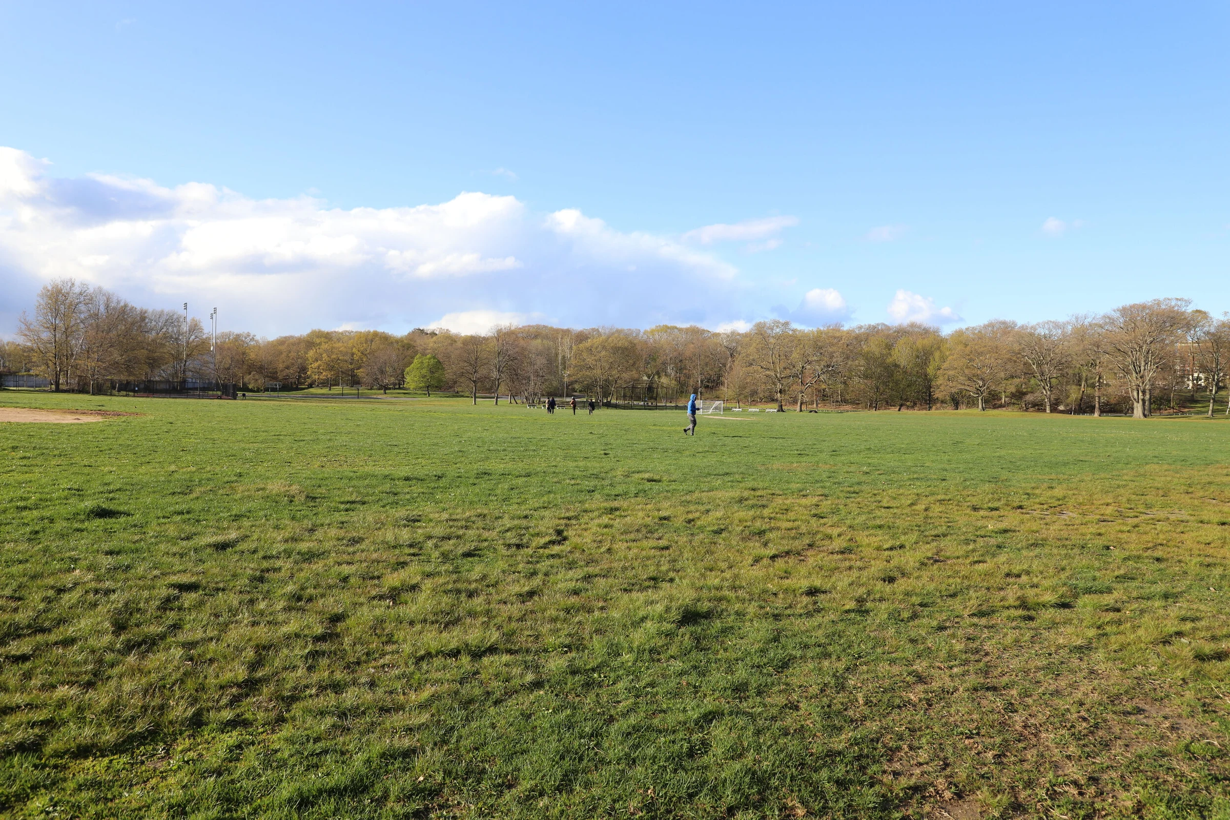
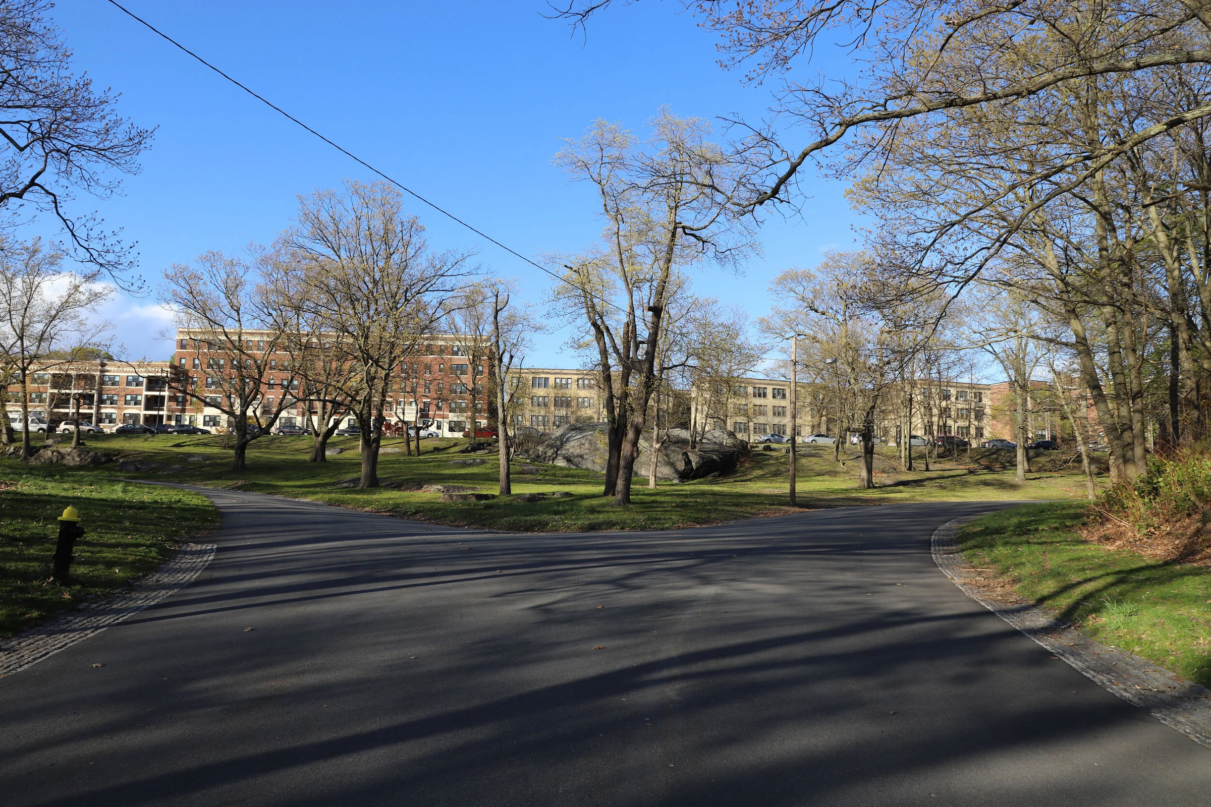
Northern Franklin Park: Lowland Area
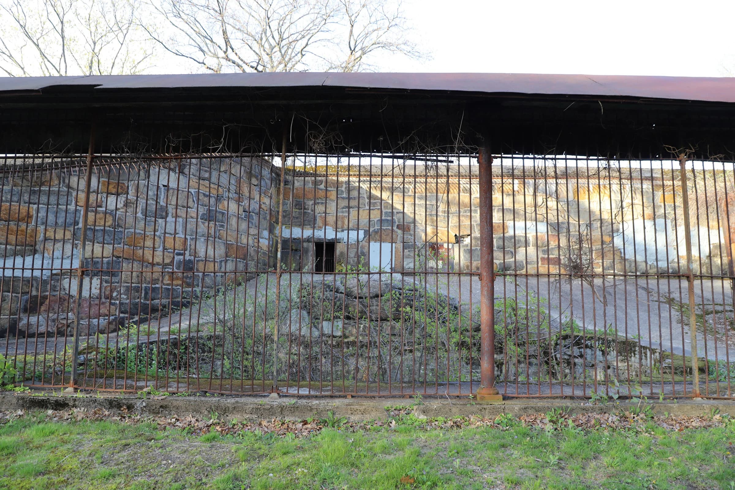
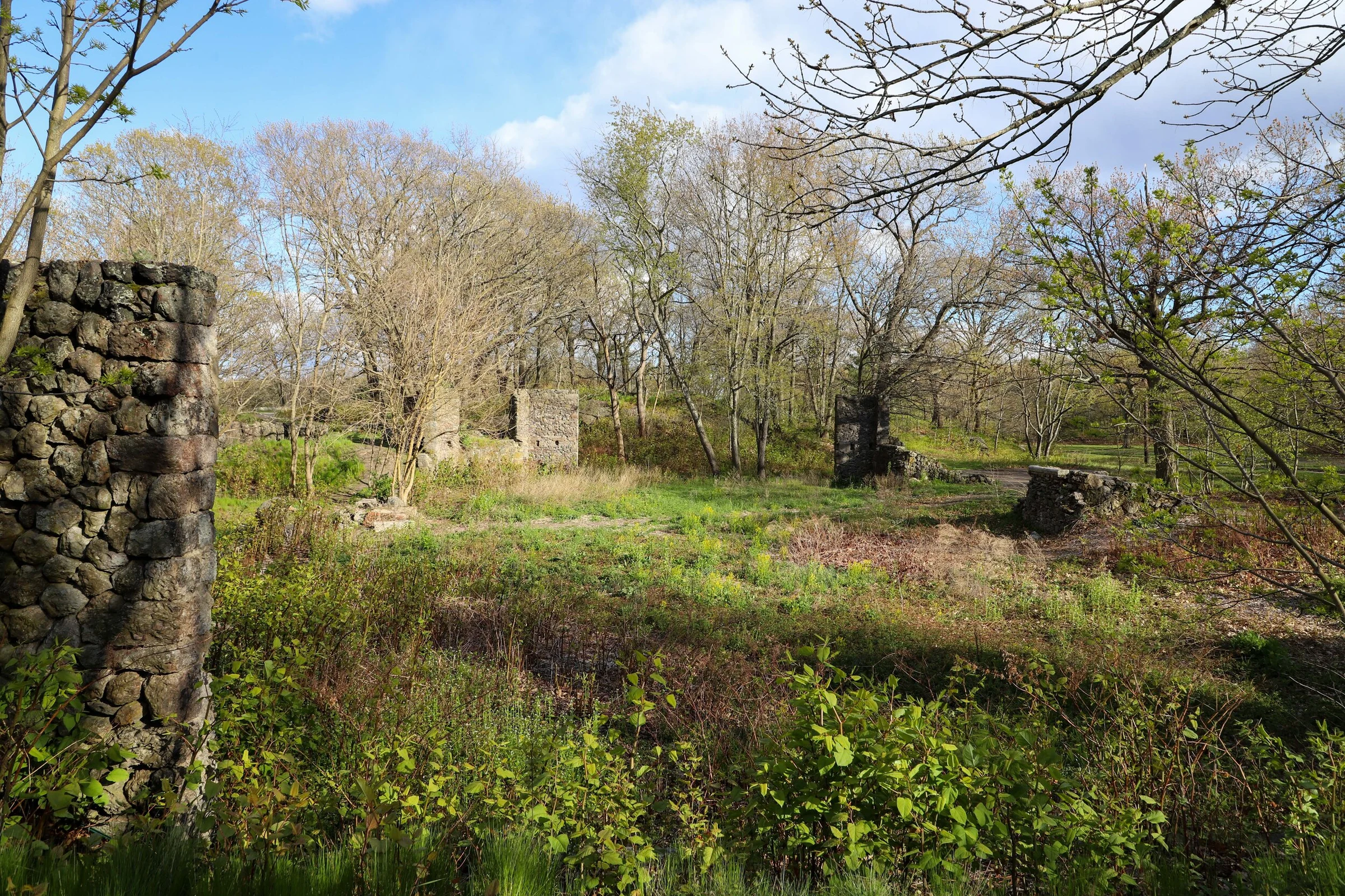
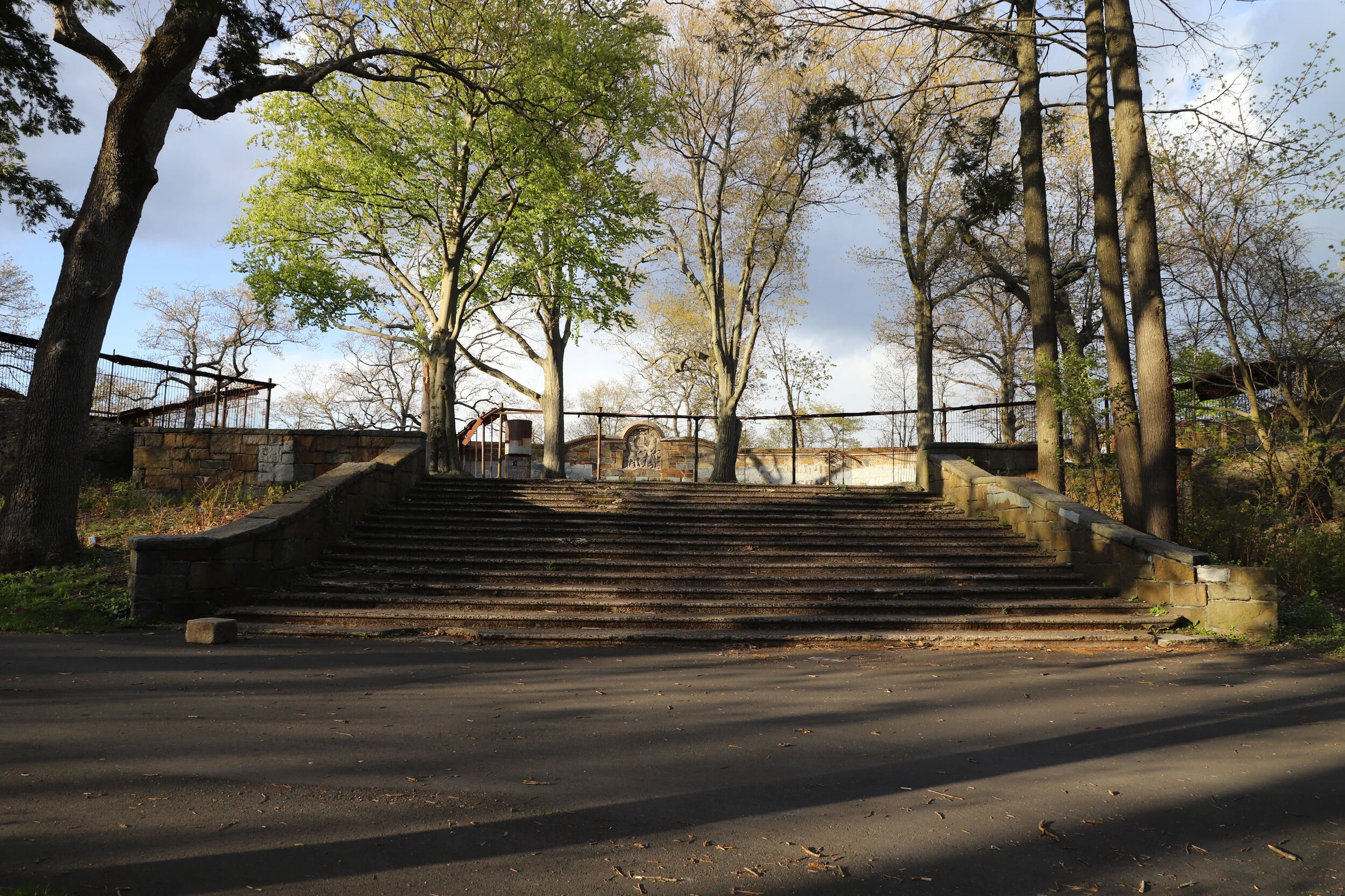
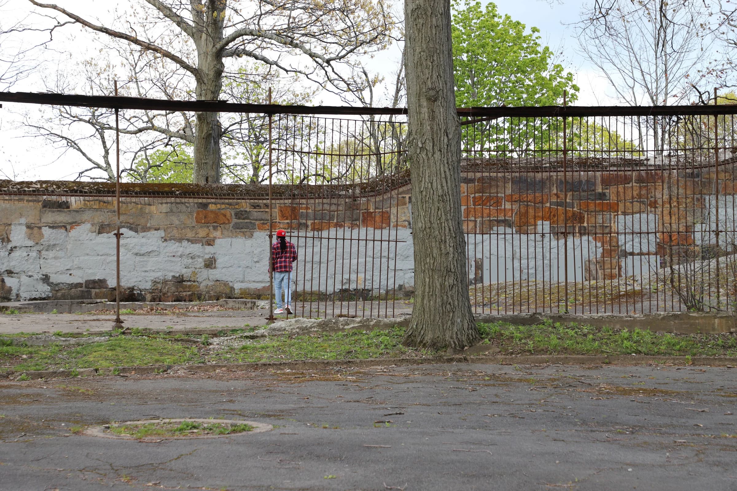
Northern Franklin Park: Abandoned Bear Dens
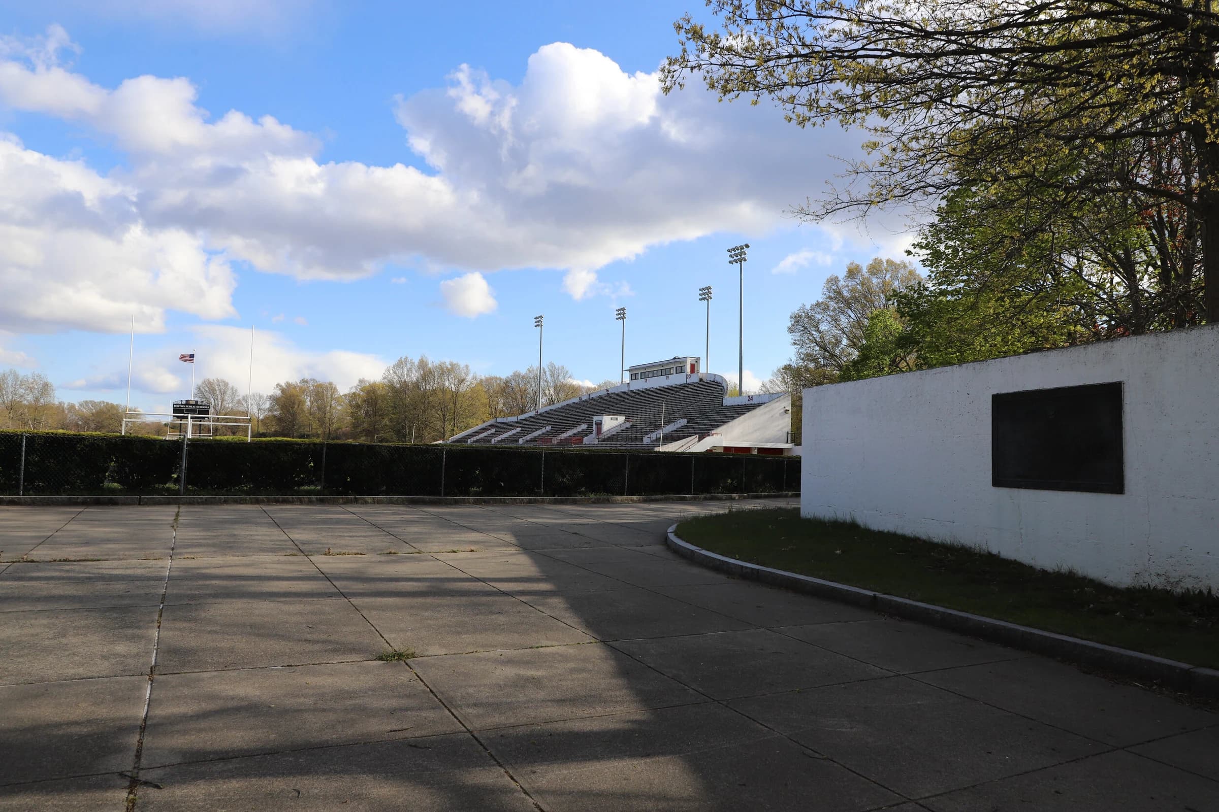
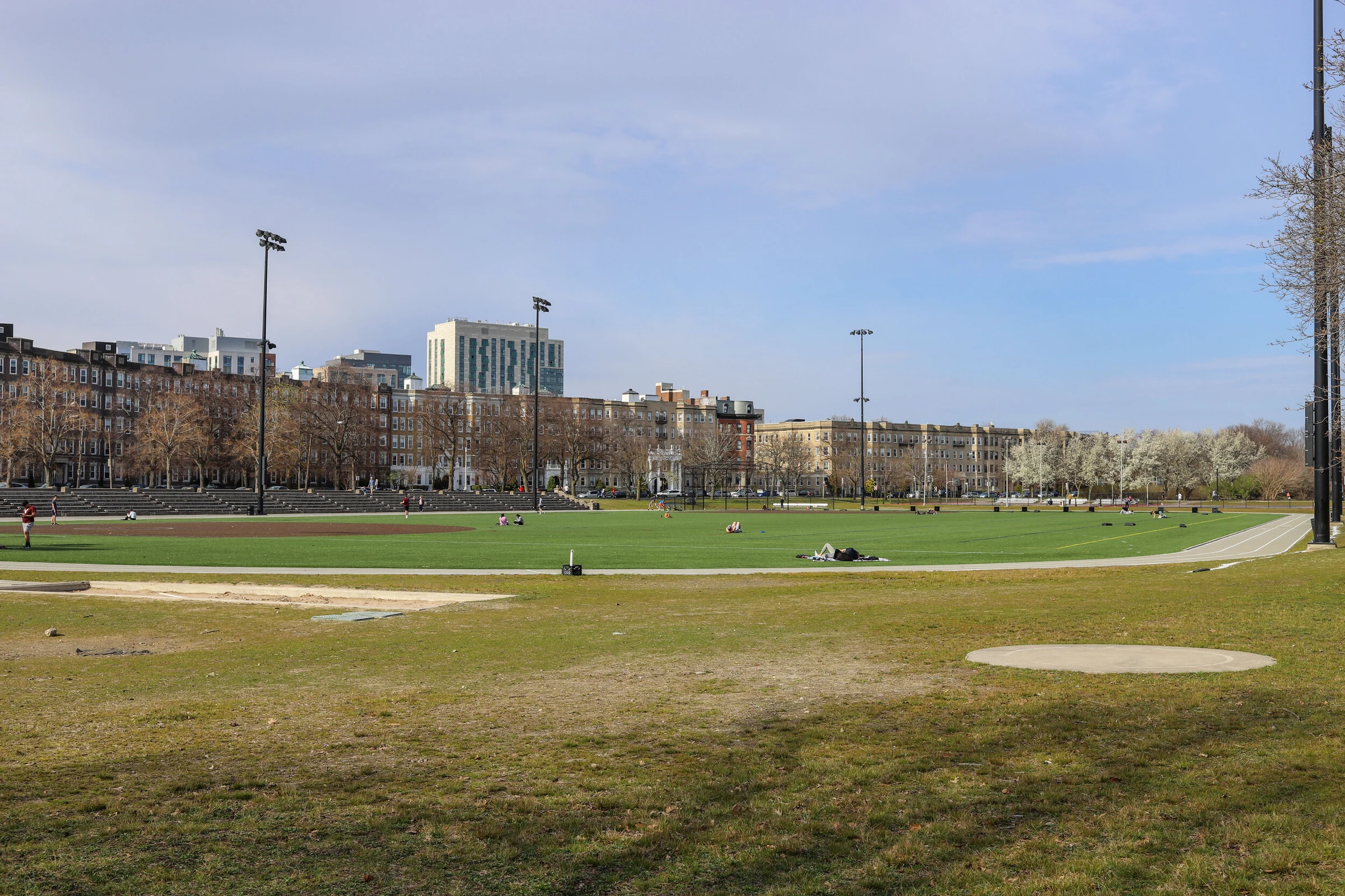
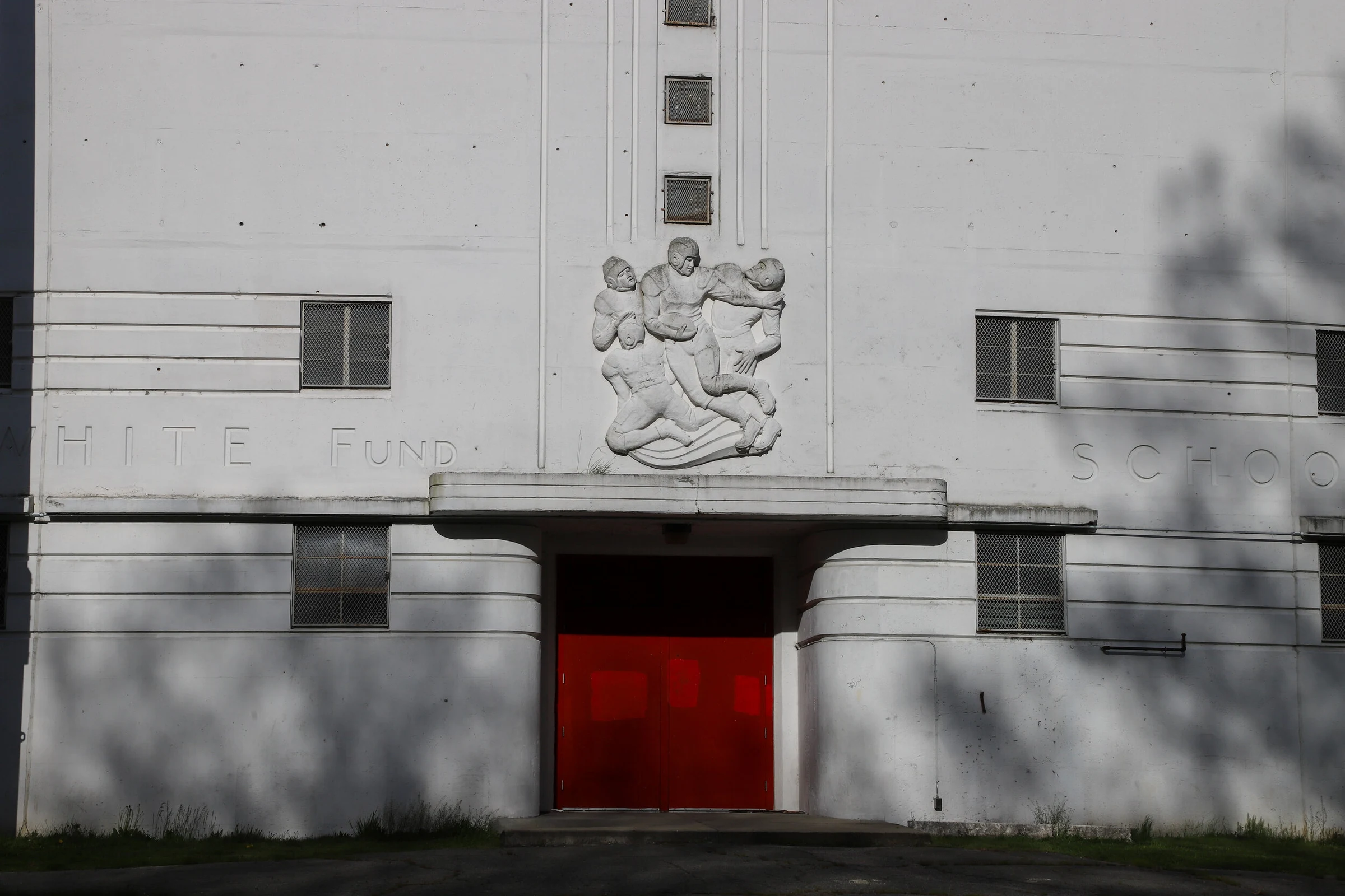
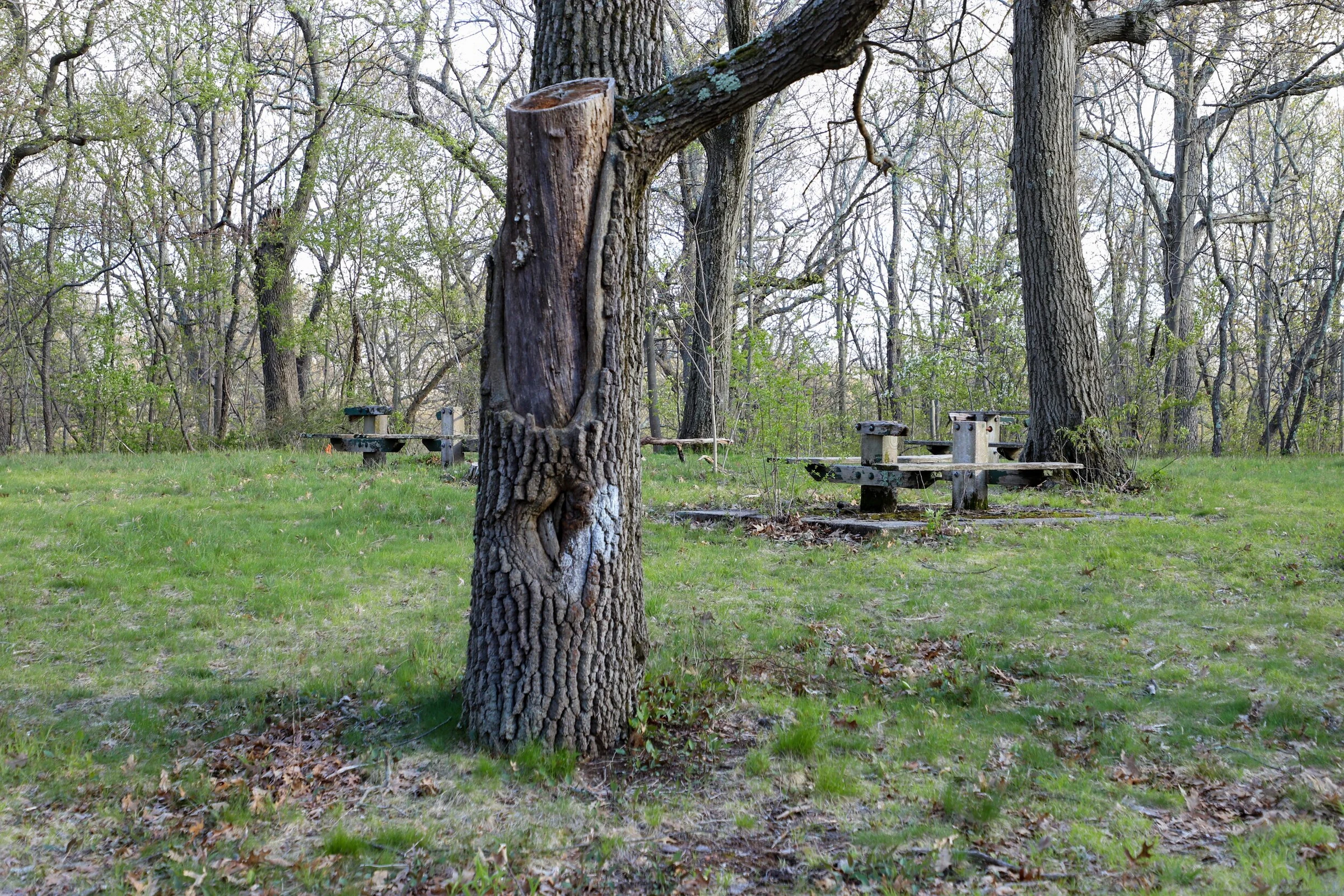
Northern Franklin Park: White Stadium

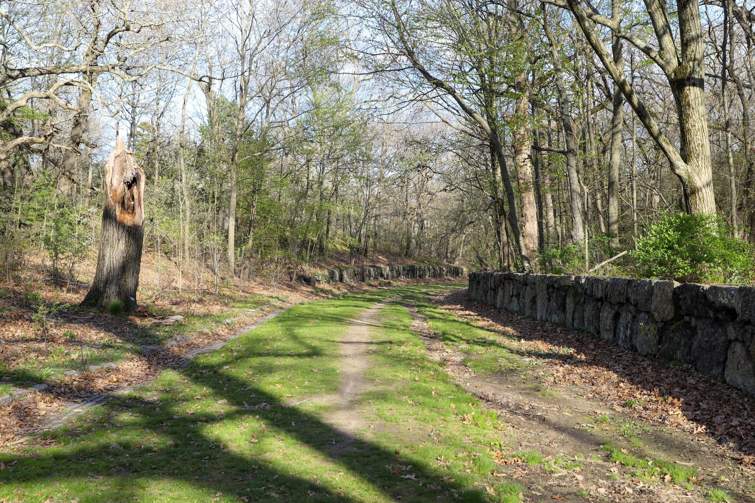
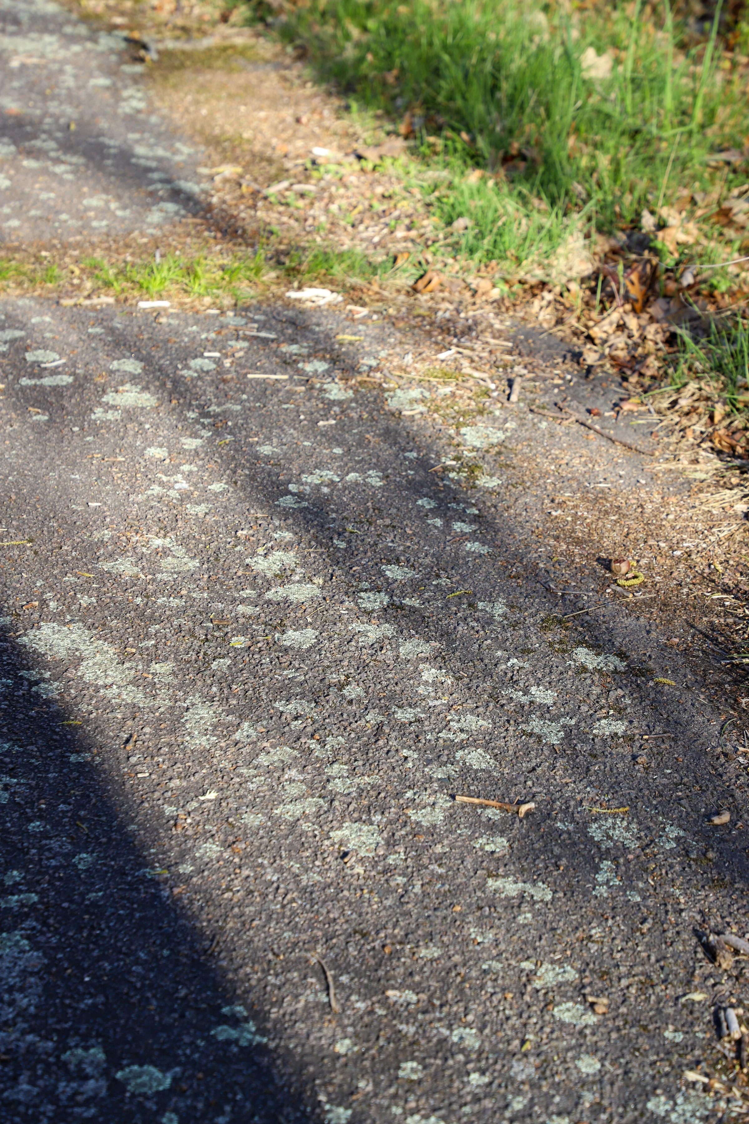
Central Franklin Park: Eroded Pathway
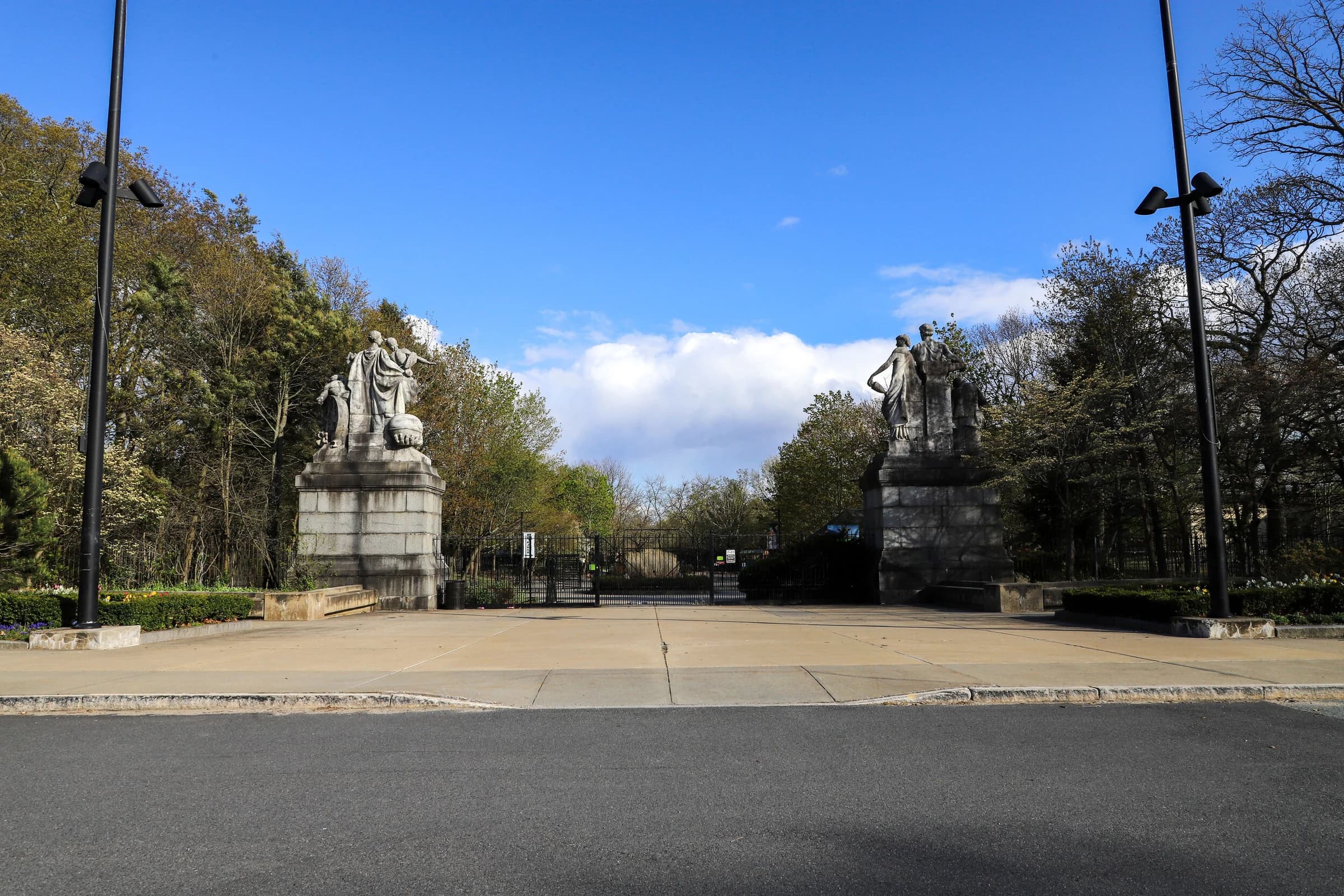
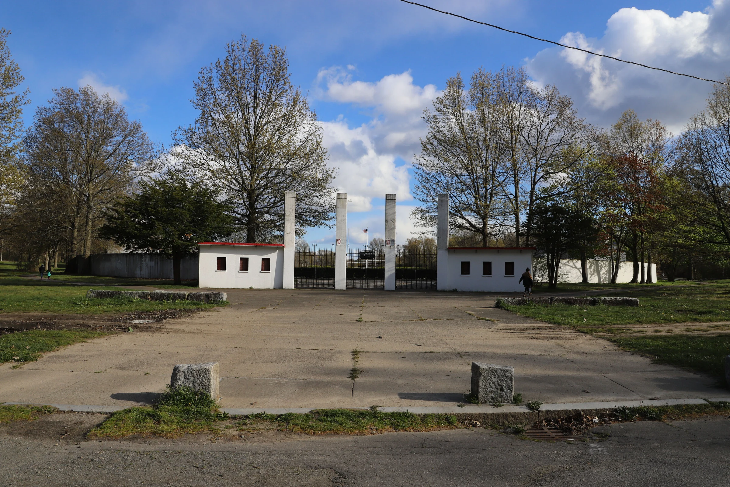
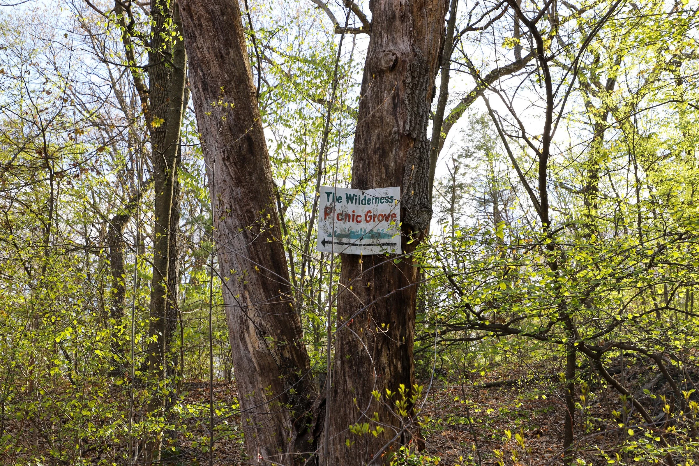
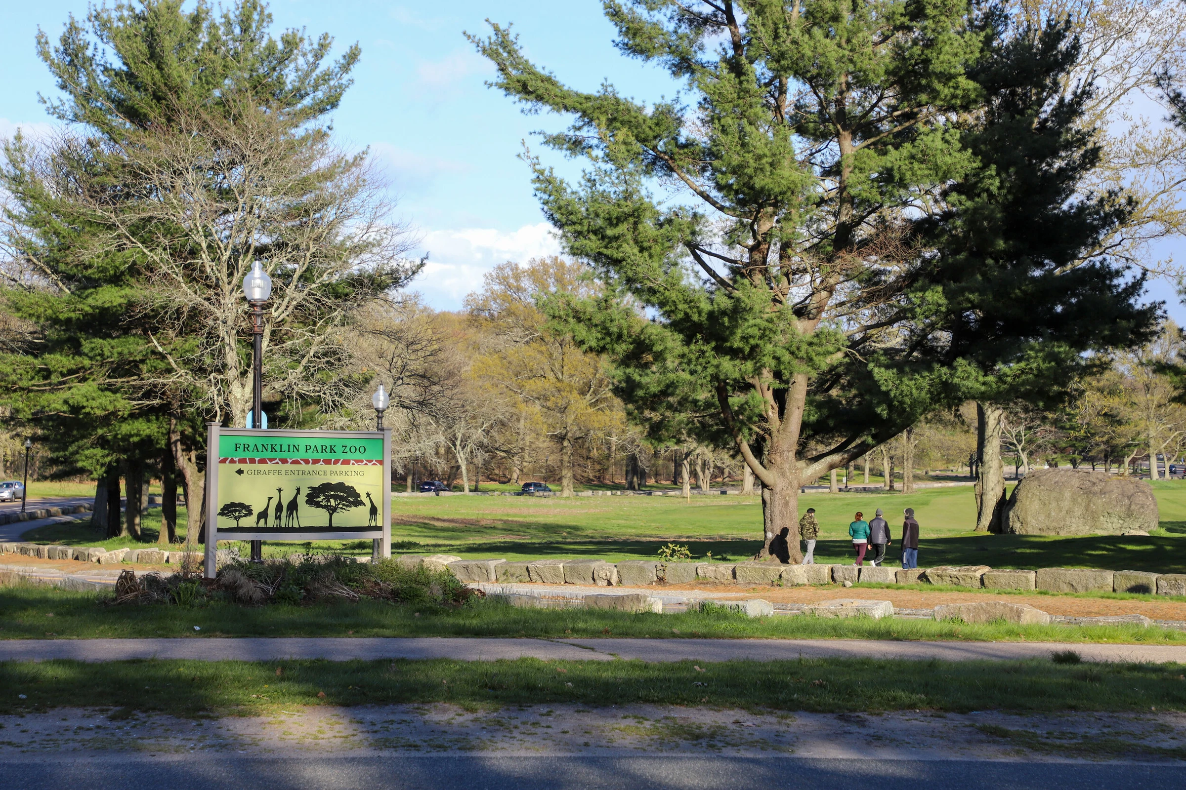
Eastern Franklin Park: Zoo Entrance
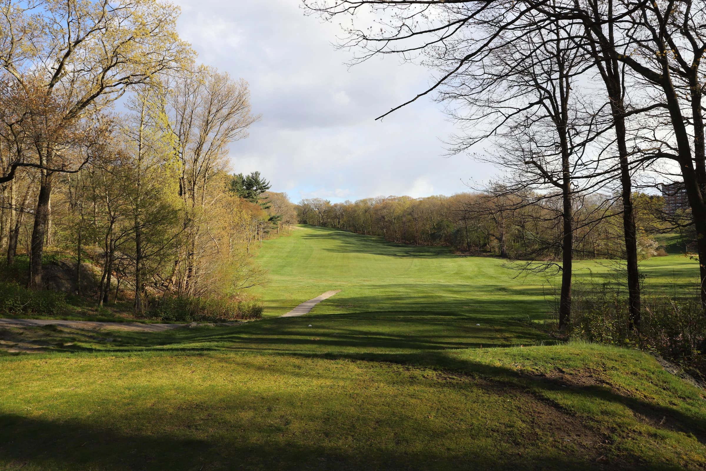
Southern Franklin Park: William J. Devine Golf Course
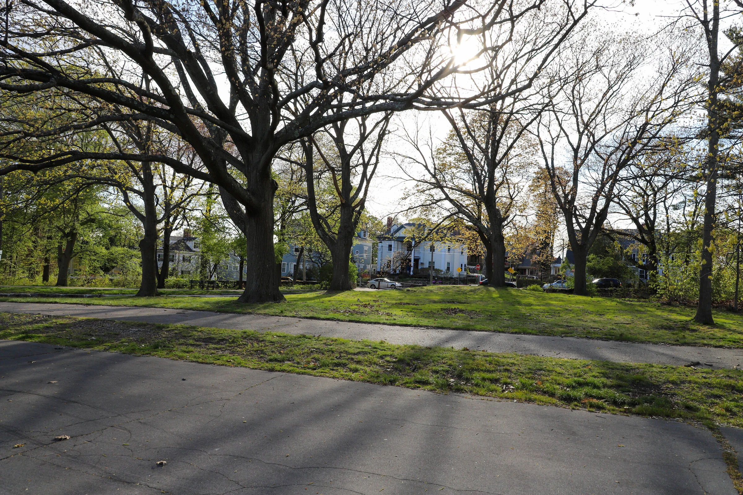
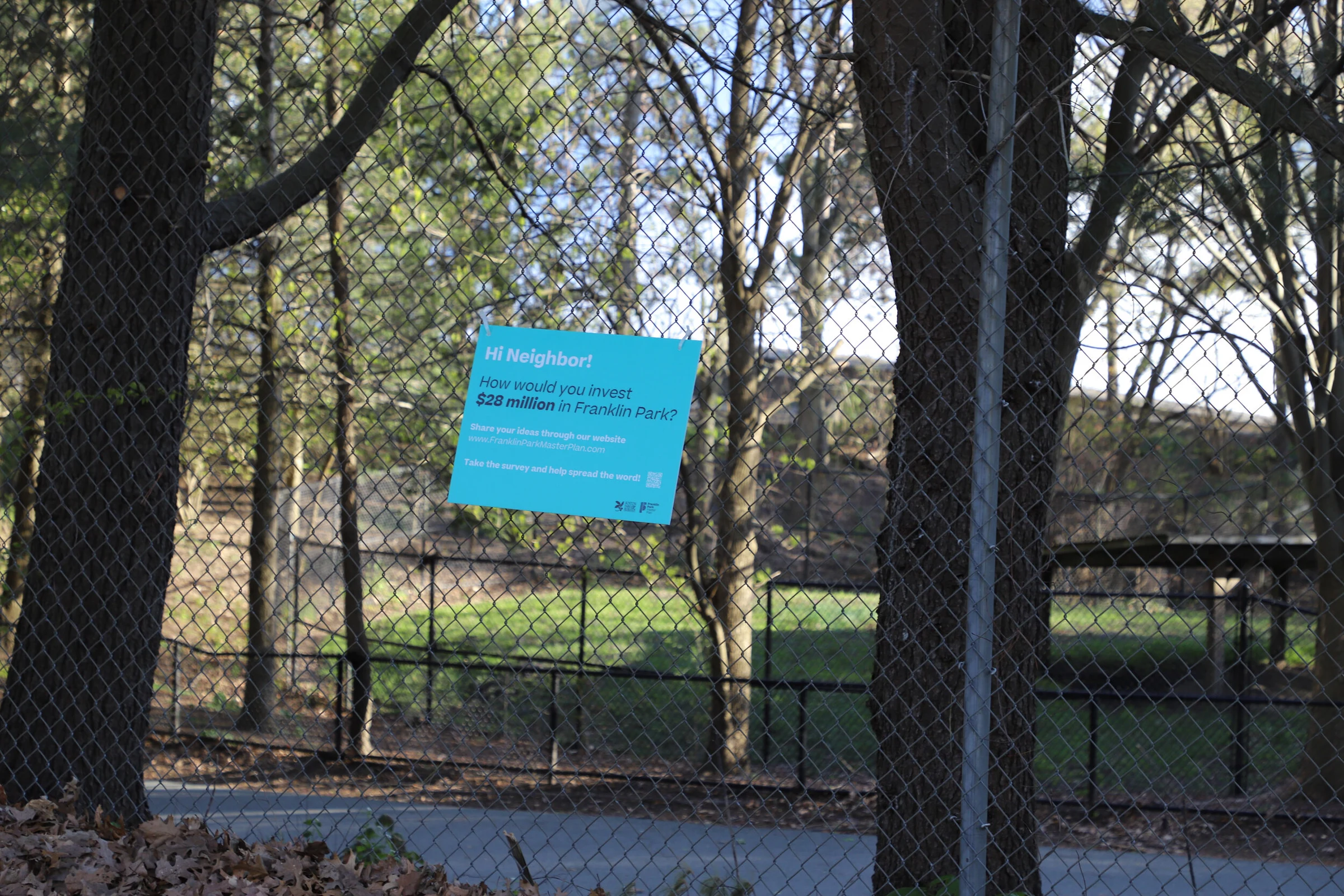
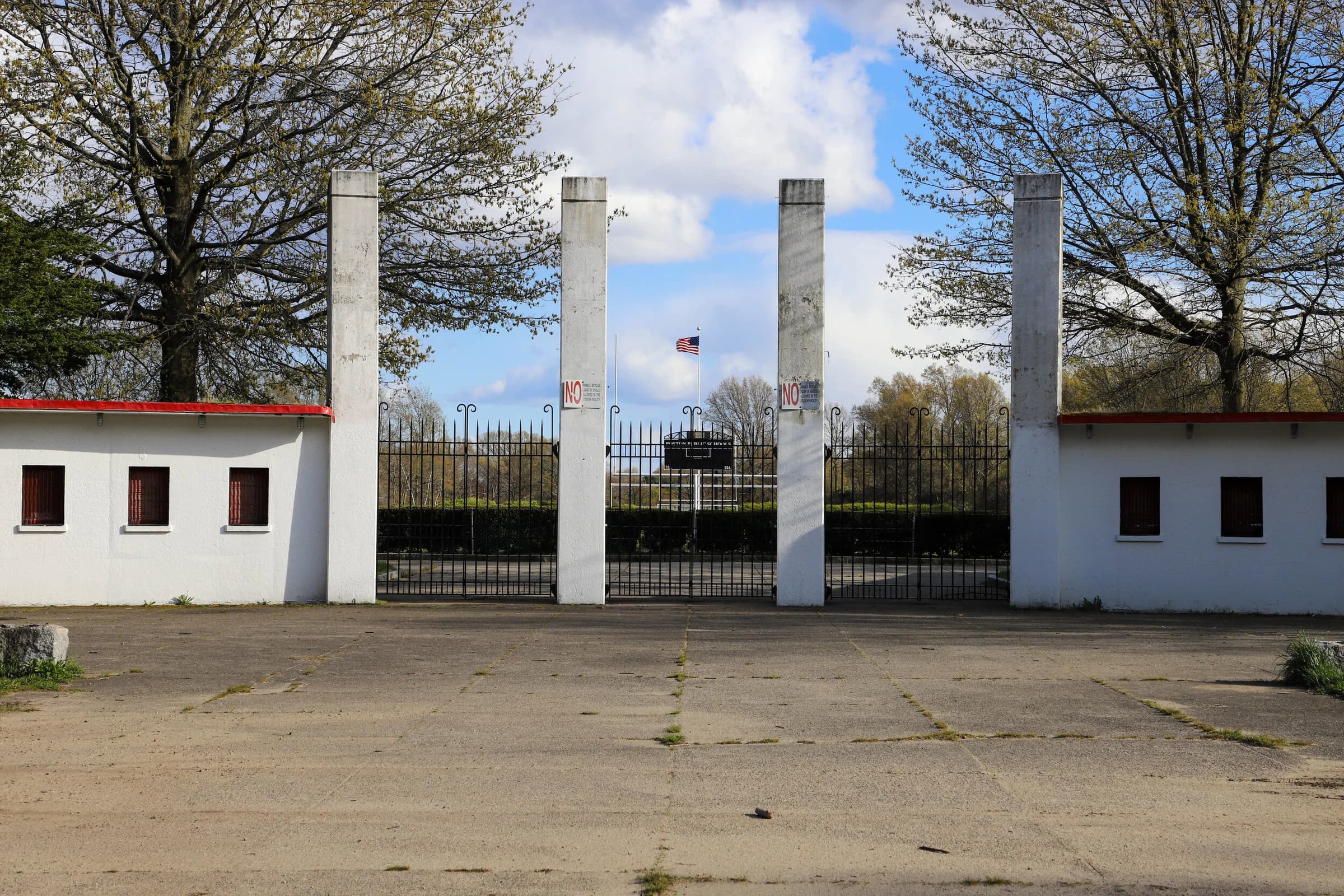
Northern Franklin Park
White Stadium

Lowland Wet Area

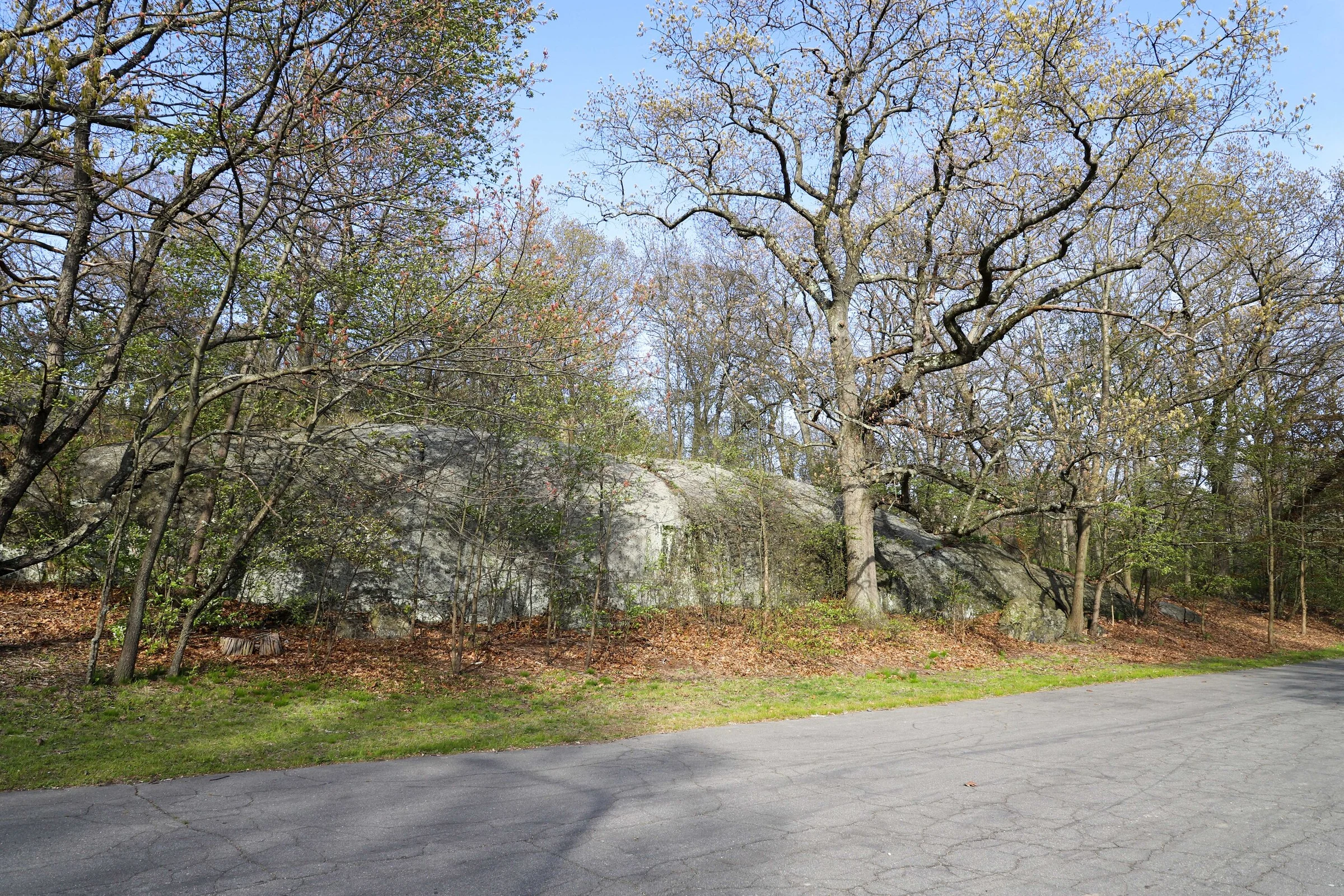
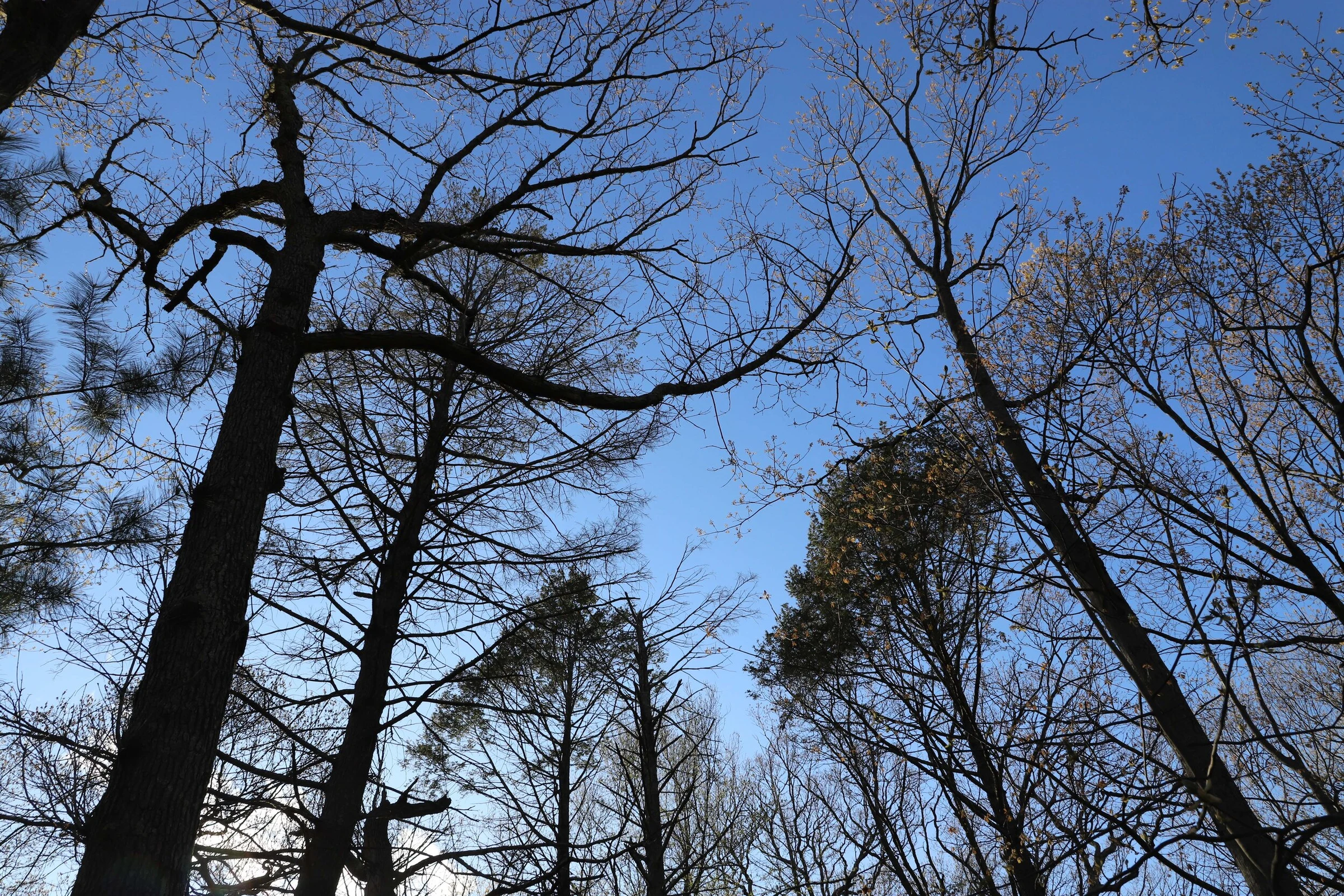
Puddingstone Erratic and Mixed Forest
Abandoned Bear Dens